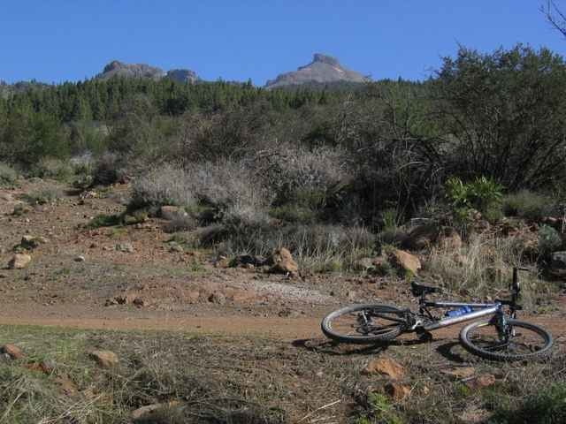
Erst ein kurzes Stück auf Asphalt nach Westen Richtung Arguayo. Dann nach links und auf Sand- und Lavapisten durch das Gebiet um den Montaña Colorada. Immer wieder Ausblicke auf die Küste und bei guter Sicht auf Gomera. Am Ende noch mal ein paar Kilometer auf der Straße bis zur Boca Tauce.
Galerie du tour
Carte du tour et altitude
Minimum height 1591 m
Maximum height 2211 m
Commentaires

Start in Boca Tauce am Südrand des Teide-Nationalparks.
Tracks GPS
Trackpoints-
GPX / Garmin Map Source (gpx) download
-
TCX / Garmin Training Center® (tcx) download
-
CRS / Garmin Training Center® (crs) download
-
Google Earth (kml) download
-
G7ToWin (g7t) download
-
TTQV (trk) download
-
Overlay (ovl) download
-
Fugawi (txt) download
-
Kompass (DAV) Track (tk) download
-
Feuille de tours (pdf) download
-
Original file of the author (g7t) download
Add to my favorites
Remove from my favorites
Edit tags
Open track
My score
Rate


