

Abgefahren sind wir von St. Agatha. Entlang des Großen Zlambach ging’s hinauf nach Lichtersberg- Waldgraben und wieder hinab durch Lichtersberg zur Blaaer Alm wo wir einkehrten um uns zu stärken. Mit frischen Kräften ging’s weiter hinab durch das Rettenbachtal wo uns dann ein langer zeitweise steiler anstieg erwartete. 800 Höhenmeter später, schon ziemlich weit oben am Raschberg, empfing uns bei 3 Grad ein bisschen Graupelschauer. Leicht durchnässt und ausgekühlt ging’s nach 15-20 Minuten weiter (solange mussten wir auf unser schlusslicht warten;-)). Unser nächster Halt war an der Ewigen Wand um einige Fotos zu machen für die wir bei der Trophy keine zeit hatten. Danach das letzte stück bergab nach Bad Goisern, durch die Ortschaft durch, und zurück zum Ausgangspunkt.
Die Streckenführung war leicht abgeändert im vergleich zur Salzkammergut Trophy. Es war etwas weiter, etwas höher, aber leider ohne die schönen Trails die bei der Trophy freigegeben waren.
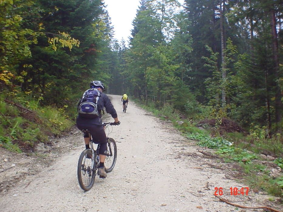
Galerie du tour


Carte du tour et altitude
Minimum height 497 m
Maximum height 1395 m
More about the tour author

|
steigi |
Commentaires

Tracks GPS
Trackpoints-
GPX / Garmin Map Source (gpx) download
-
TCX / Garmin Training Center® (tcx) download
-
CRS / Garmin Training Center® (crs) download
-
Google Earth (kml) download
-
G7ToWin (g7t) download
-
TTQV (trk) download
-
Overlay (ovl) download
-
Fugawi (txt) download
-
Kompass (DAV) Track (tk) download
-
Feuille de tours (pdf) download
-
Original file of the author (gpx) download
More about the tour author
|
|
steigi |
Add to my favorites
Remove from my favorites
Edit tags
Open track
My score
Rate