Login

Login oublié ?

Cookies have to be accepted!
Your browser's cookie functionality is disabled. Please enable this functionality.

Not a member yet?

Register now
Login

Available for registred users only

Log in to use this feature.

Login oublié ?

Cookies have to be accepted!
Your browser's cookie functionality is disabled. Please enable this functionality.

Not a member yet?

Register now
Filter
Catégories
Advanced filters
  • Longueur (km)
  • Altimètre
Enregistrer le filtre Reset filter

TrackRank

QRCode

Technical data

Longueur9,2 km Altimètre926 m Way down905 m Durée00:00 h:m Date14.10.2008
Evaluations Author Paysage Aspect amusement Condition Technique

Statistiques

521 Vues Evaluations 71 Téléchargements Moyenne
Rate
  • Feuille de tours
  • Arrivée
  • Téléchargements

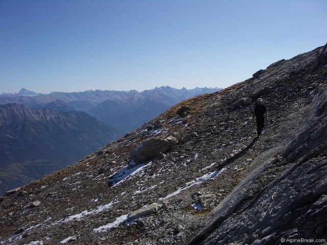
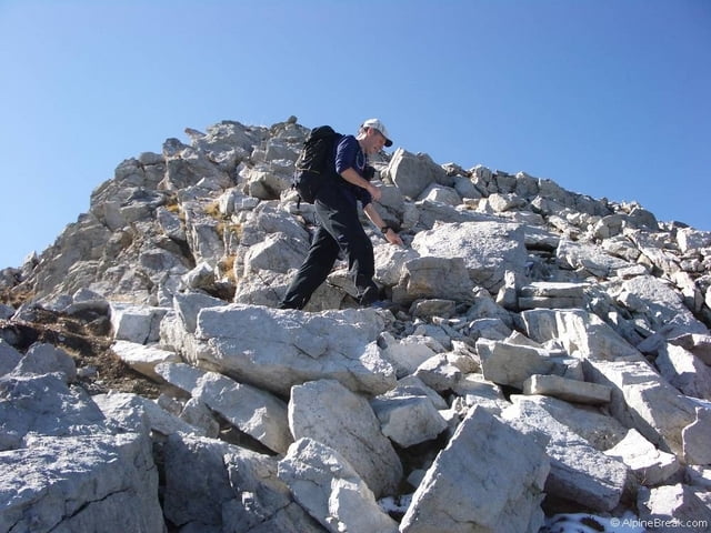
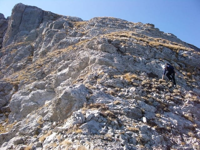
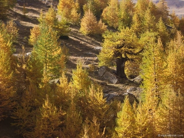
I cant paste my description in here, I get some message in German that I cant work out saying why not. You can read a full description here

Alpine Walking Holidays

Further information at

http://alpinebreak.com/2008/walking/tete-de-gaulent/

Galerie du tour

Carte du tour et altitude

  • Open Street Map
  • Google
Minimum height 2064 m Maximum height 2868 m Vue de détail

More about the tour author

AlpineBreak
Member since 2008

Send private message

Commentaires

Tracks GPS

Trackpoints
  • GPX / Garmin Map Source (gpx) download
  • TCX / Garmin Training Center® (tcx) download
  • CRS / Garmin Training Center® (crs) download
  • Google Earth (kml) download
  • G7ToWin (g7t) download
  • TTQV (trk) download
  • Overlay (ovl) download
  • Fugawi (txt) download
  • Kompass (DAV) Track (tk) download
  • Feuille de tours (pdf) download
  • Original file of the author (gpx) download

More about the tour author

AlpineBreak
Member since 2008

Send private message
Share track
Add to my favorites
Remove from my favorites
Edit tags
My score
Rate
Tour: Tete de Gaulent
Cat.: Tour en montagne
Longueur: 9,2 km
Evaluated on:
Durée:
Day(s)
Hour(s)
Minute(s)
Evaluation: Paysage Aspect amusement Condition Technique