


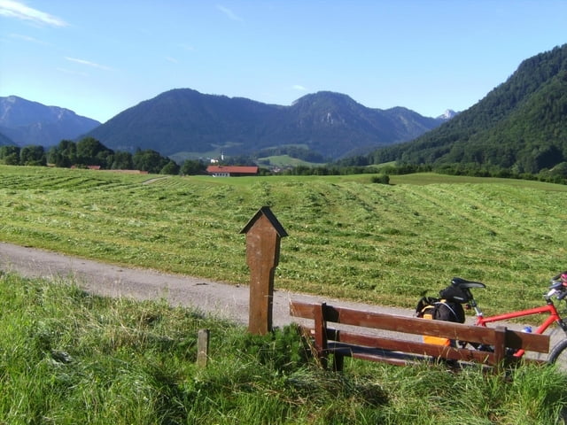
Im Zuge einer Transalp, die wegen Schechtwetter abgebrochen werden mußte, hier der erste Tag:
Von Waging über Traunstein - Ruhpolding - Staubfall - Heutal - Kammerköhr - Waidring - St. Johann - Hopfgarten zur urigen Baumgartenalm oberhalb Kelchsau. Immer auf Radwegen und Nebenstraßen! Am Staubfall muß das Rad kurz getragen werden, sonst ist alles fahrbar. Der Abschnitt Oberndorf - Reith bei Kitzbühel kostet Zeit. Die letzte Steigung vor dem Ziel (Hopfgarten - Alm) zieht sich.
Die Auffahrt von Hopfgarten (600 m) zur Alm (1500 m) alleine ist auch zu empfehlen. Man kann natürlich auf die Anfahrt mit dem Auto (wären ca. 120 km) wie gehabt verzichten.
Galerie du tour


Carte du tour et altitude
Minimum height 466 m
Maximum height 1507 m
More about the tour author
|
|
herzi |
Commentaires

Tracks GPS
Trackpoints-
GPX / Garmin Map Source (gpx) download
-
TCX / Garmin Training Center® (tcx) download
-
CRS / Garmin Training Center® (crs) download
-
Google Earth (kml) download
-
G7ToWin (g7t) download
-
TTQV (trk) download
-
Overlay (ovl) download
-
Fugawi (txt) download
-
Kompass (DAV) Track (tk) download
-
Feuille de tours (pdf) download
-
Original file of the author (gpx) download
More about the tour author
|
|
herzi |
Add to my favorites
Remove from my favorites
Edit tags
Open track
My score
Rate