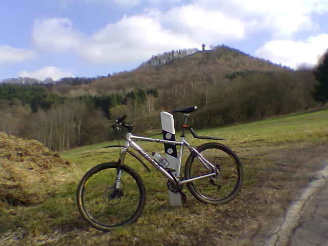
Mountainbiketour überwiegend über Forstwege, von Ehrenbreitstein am Rhein entlang nach Urbar, durch das Mallendarer Bachtal nach Neuhäusel, Straße nach Eitelborn. Dann hinab zur Sporkenburg nach Arzbach ins Emsbachtal. Über Forstwege mit schönen Aussichten zum Golfplatz Denzer Heide, über Arenberg und das Mühlental hinab nach Ehrenbreitstein.
Carte du tour et altitude
Minimum height 63 m
Maximum height 330 m
Commentaires

B42 Koblenz Ehrenbreitstein, Parkmöglichkeit am neuen Hochwasserschutztor
Tracks GPS
Trackpoints-
GPX / Garmin Map Source (gpx) download
-
TCX / Garmin Training Center® (tcx) download
-
CRS / Garmin Training Center® (crs) download
-
Google Earth (kml) download
-
G7ToWin (g7t) download
-
TTQV (trk) download
-
Overlay (ovl) download
-
Fugawi (txt) download
-
Kompass (DAV) Track (tk) download
-
Feuille de tours (pdf) download
-
Original file of the author (gpx) download
Add to my favorites
Remove from my favorites
Edit tags
Open track
My score
Rate


