Login

Login oublié ?

Cookies have to be accepted!
Your browser's cookie functionality is disabled. Please enable this functionality.

Not a member yet?

Register now
Login

Available for registred users only

Log in to use this feature.

Login oublié ?

Cookies have to be accepted!
Your browser's cookie functionality is disabled. Please enable this functionality.

Not a member yet?

Register now
Filter
Catégories
Advanced filters
  • Longueur (km)
  • Altimètre
Enregistrer le filtre Reset filter

TrackRank

QRCode

Technical data

Longueur34,7 km Altimètre980 m Way down976 m Durée04:00 h:m Date01.11.2008
Evaluations Author Paysage Aspect amusement Condition Technique

Statistiques

2252 Vues 2 Evaluations 644 Téléchargements 4.50 Moyenne
Rate
  • Feuille de tours
  • Arrivée
  • Téléchargements

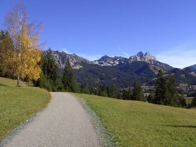
Gemütliche Runde um das Tannheimer Tal

Start am besten vom großen Parkplatz des Rohnenliftes, dann leichte Auffahrt Richtung Einstein. Auf der nördlichen Talseite weiter immer mit Blick auf Gimpel und Rote Flüh, vorbei am Adlerhorst mit sonniger Terasse und toller Aussicht auf den Haldensee . Durch Nesselwängle auf der südlichen Talseite wieder zurück.

Galerie du tour

Carte du tour et altitude

  • Open Street Map
  • Google
Minimum height 1069 m Maximum height 1475 m Vue de détail

More about the tour author

yr1willi
Member since 2006

Send private message

Commentaires

hausnm on 12.06.2017

Schöne Tour

mit herrlichen Ausblicken in die Bergwelt Thannheimer Tal. Mein GPS knackte sogar die 1000 hm Marke mit dieser Tour.
von Kempten über Immenstadt Sonthofen Oberjoch nach Zöblen, großer Parkplatz am Rohnenlift .

Tracks GPS

Trackpoints
  • GPX / Garmin Map Source (gpx) download
  • TCX / Garmin Training Center® (tcx) download
  • CRS / Garmin Training Center® (crs) download
  • Google Earth (kml) download
  • G7ToWin (g7t) download
  • TTQV (trk) download
  • Overlay (ovl) download
  • Fugawi (txt) download
  • Kompass (DAV) Track (tk) download
  • Feuille de tours (pdf) download
  • Original file of the author (gpx) download

More about the tour author

yr1willi
Member since 2006

Send private message
Share track
Add to my favorites
Remove from my favorites
Edit tags
My score
Rate
Tour: Tannheimer Talrunde
Cat.: Mountainbike
Longueur: 34,7 km
Evaluated on:
Durée:
Day(s)
Hour(s)
Minute(s)
Evaluation: Paysage Aspect amusement Condition Technique