Login

Login oublié ?

Cookies have to be accepted!
Your browser's cookie functionality is disabled. Please enable this functionality.

Not a member yet?

Register now
Login

Available for registred users only

Log in to use this feature.

Login oublié ?

Cookies have to be accepted!
Your browser's cookie functionality is disabled. Please enable this functionality.

Not a member yet?

Register now
Filter
Catégories
Advanced filters
  • Longueur (km)
  • Altimètre
Enregistrer le filtre Reset filter

TrackRank

QRCode

Technical data

Longueur73,0 km Altimètre1229 m Way down1248 m Durée00:00 h:m Date05.11.2008
Evaluations Author Paysage Aspect amusement Condition Technique

Statistiques

987 Vues Evaluations 113 Téléchargements Moyenne
Rate
  • Feuille de tours
  • Arrivée
  • Téléchargements

ich bin die Tour gegen den Uhrzeigers.gefahren,

ca.1 std schieben,tragen,anderst rum fast besser...
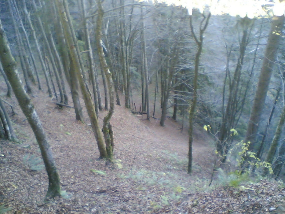
Galerie du tour

Carte du tour et altitude

  • Open Street Map
  • Google
Minimum height 645 m Maximum height 1240 m Vue de détail

More about the tour author

maggi
Member since 2008

Send private message

Commentaires

die Tour geht von meiem Wohnort Börwang aus,kann natülich auch kürzer gefahren werden..

Tracks GPS

Trackpoints
  • GPX / Garmin Map Source (gpx) download
  • TCX / Garmin Training Center® (tcx) download
  • CRS / Garmin Training Center® (crs) download
  • Google Earth (kml) download
  • G7ToWin (g7t) download
  • TTQV (trk) download
  • Overlay (ovl) download
  • Fugawi (txt) download
  • Kompass (DAV) Track (tk) download
  • Feuille de tours (pdf) download
  • Original file of the author (gpx) download

More about the tour author

maggi
Member since 2008

Send private message
Share track
Add to my favorites
Remove from my favorites
Edit tags
My score
Rate
Tour: Börwang,Buchenberg,Weitnau,Hauchenberg,Niedersonthofen
Cat.: Mountainbike
Longueur: 73,0 km
Evaluated on:
Durée:
Day(s)
Hour(s)
Minute(s)
Evaluation: Paysage Aspect amusement Condition Technique