Login

Login oublié ?

Cookies have to be accepted!
Your browser's cookie functionality is disabled. Please enable this functionality.

Not a member yet?

Register now
Login

Available for registred users only

Log in to use this feature.

Login oublié ?

Cookies have to be accepted!
Your browser's cookie functionality is disabled. Please enable this functionality.

Not a member yet?

Register now
Filter
Catégories
Advanced filters
  • Longueur (km)
  • Altimètre
Enregistrer le filtre Reset filter

TrackRank

QRCode

Technical data

Longueur9,8 km Altimètre821 m Way down19 m Durée02:00 h:m Date09.11.2008
Evaluations Author User Paysage Aspect amusement Condition Technique

Statistiques

1340 Vues 2 Evaluations 116 Téléchargements 3.00 Moyenne
Rate
  • Feuille de tours
  • Arrivée
  • Téléchargements

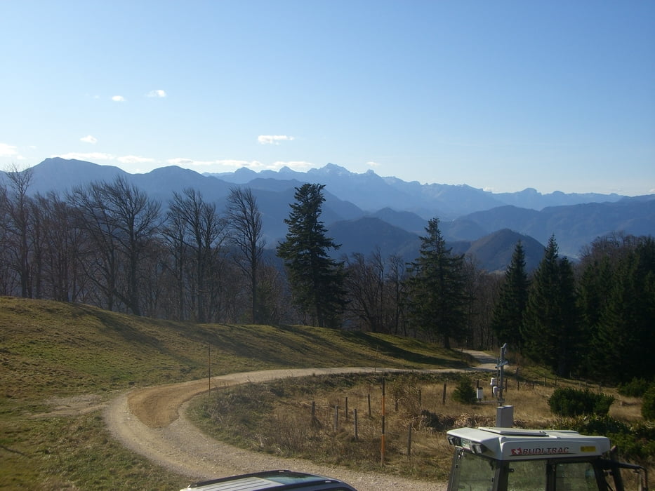
Am Start der Tour sind Parkplätze für eure Pkw´s. Die Tour beginnt im Tal und geht über eine Schotterstrasse bis zum Schobersteinschutzhaus.

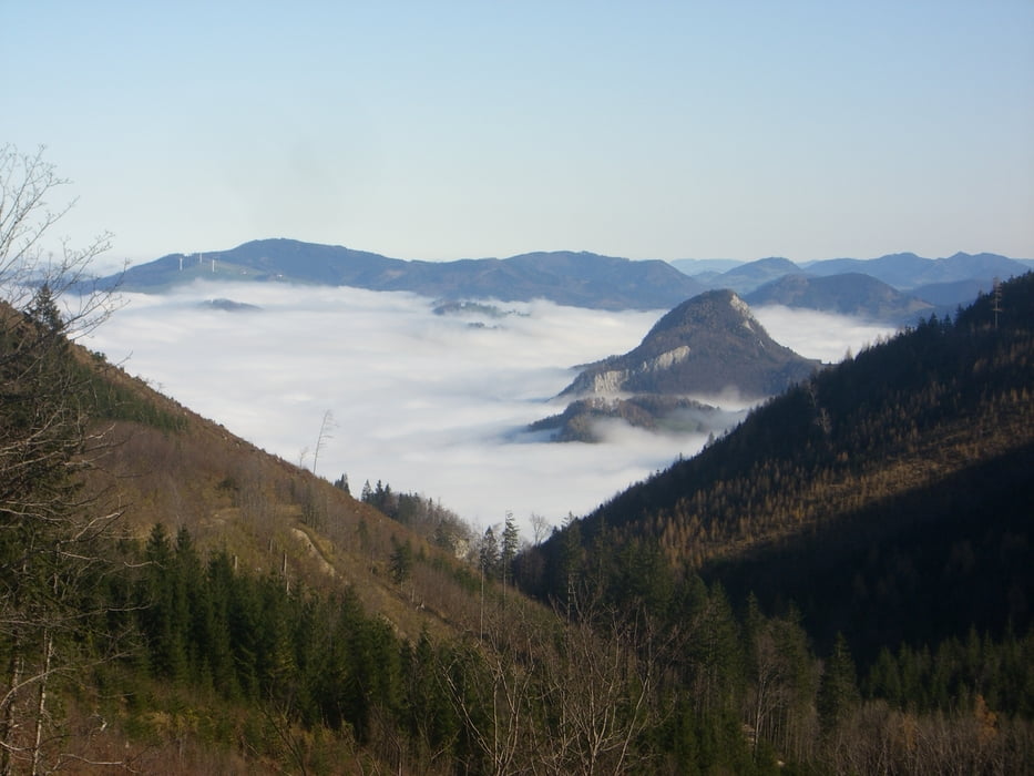
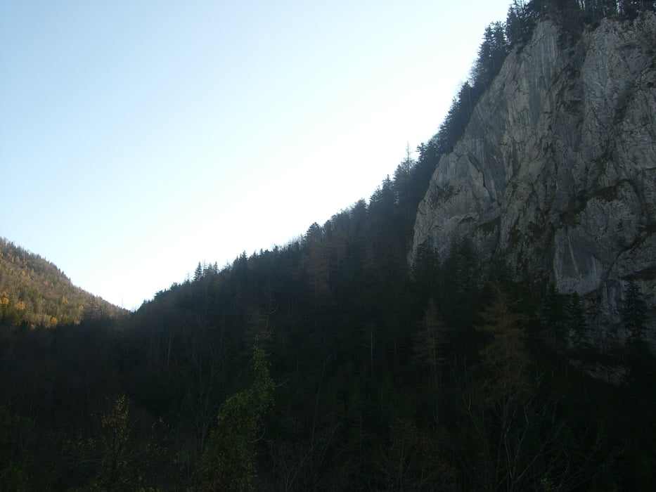
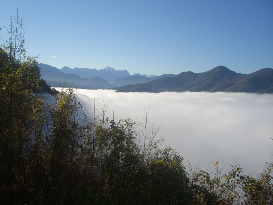
Sehr schöne Aussichtspunkte entlang der Strecke.

Und wer noch zu einer anderen Hütte will kann zur Grünburger Hütte radeln.

Galerie du tour

Carte du tour et altitude

  • Open Street Map
  • Google
Minimum height 455 m Maximum height 1266 m Vue de détail

More about the tour author

Zorbach
Member since 2008

Send private message

Commentaires

Invité on 17.05.2009

das Beste zum Schluss

Hallo
habe mich heute an der Strecke versucht. Kurz vor der Hütte gehts noch mal richtig zur Sache. Teilt euch die Kraft gut ein die letzten Meter seid ihr im Blickfeld der Hüttenbesucher ;-))
lg

Tracks GPS

Trackpoints
  • GPX / Garmin Map Source (gpx) download
  • TCX / Garmin Training Center® (tcx) download
  • CRS / Garmin Training Center® (crs) download
  • Google Earth (kml) download
  • G7ToWin (g7t) download
  • TTQV (trk) download
  • Overlay (ovl) download
  • Fugawi (txt) download
  • Kompass (DAV) Track (tk) download
  • Feuille de tours (pdf) download
  • Original file of the author (gpx) download

More about the tour author

Zorbach
Member since 2008

Send private message
Share track
Add to my favorites
Remove from my favorites
Edit tags
My score
Rate
Tour: Schoberstein über Dorngraben
Cat.: Mountainbike
Longueur: 9,8 km
Evaluated on:
Durée:
Day(s)
Hour(s)
Minute(s)
Evaluation: Paysage Aspect amusement Condition Technique