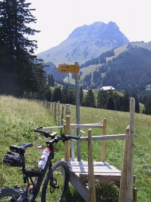
Eine Tour rund um den Moléson. Gestartet wird in Enney, wo bereits ein Anstieg mit 11-12% Steigung ansteht. Dann folgt ein kurzer Downhill nach Moléson-Village. Von dort führt ein Weg bis Plan-Francey. Bis dahin muss das Bike zwischendurch gestossen werden. Weiter geht es, über zum Teil schwierig zu fahrende Alpwege. Die Abfahrt von Belle Chaux aus ist ebenfalls steil und anspruchsvoll, aber erlebnisreich und mit vielen Viehgattern versehen (Gatter auf und Gatter zu...) Von Chapelle de l'Evi einfach der Strasse folgen (Die Trackaufzeichnung will da noch in den Wald hinauf). Bis nach Enney zurück hat es noch kleinere Auf- und Abstiege zu bewältigen.
Detaillierte Höhenprofile, Karten, Garmin Routenfiles,
Fotos usw. findet Ihr auf meiner Homepage.
oder hier
Tourfinder.net
Galerie du tour
Carte du tour et altitude
Minimum height 715 m
Maximum height 1542 m
Commentaires
..nach Enney
Tracks GPS
Trackpoints-
GPX / Garmin Map Source (gpx) download
-
TCX / Garmin Training Center® (tcx) download
-
CRS / Garmin Training Center® (crs) download
-
Google Earth (kml) download
-
G7ToWin (g7t) download
-
TTQV (trk) download
-
Overlay (ovl) download
-
Fugawi (txt) download
-
Kompass (DAV) Track (tk) download
-
Feuille de tours (pdf) download
-
Original file of the author (g7t) download
Add to my favorites
Remove from my favorites
Edit tags
Open track
My score
Rate


VTT
Journée magnifique. Parcours top. Décors top. Merci.