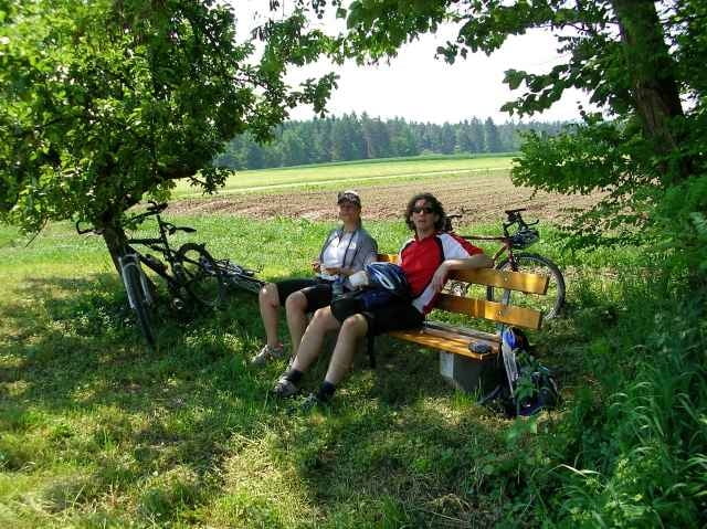
Von Wüstenrot in der Ortsmitte geht es zu einer wunderschönen Rundtour über kleine Gehöfte mit tollen Ausblicken nach Mainhardt.
Zurück am Rottal entlang über Finsterrot.
Rundweg.
Zurück am Rottal entlang über Finsterrot.
Rundweg.
Carte du tour et altitude
Minimum height 416 m
Maximum height 521 m
Commentaires
Über die B39 nach Wünstenrot.
Start ist in der Ortsmitte.
Start ist in der Ortsmitte.
Tracks GPS
Trackpoints-
GPX / Garmin Map Source (gpx) download
-
TCX / Garmin Training Center® (tcx) download
-
CRS / Garmin Training Center® (crs) download
-
Google Earth (kml) download
-
G7ToWin (g7t) download
-
TTQV (trk) download
-
Overlay (ovl) download
-
Fugawi (txt) download
-
Kompass (DAV) Track (tk) download
-
Feuille de tours (pdf) download
-
Original file of the author (gpx) download
Add to my favorites
Remove from my favorites
Edit tags
Open track
My score
Rate


Technisch einfach.