Login

Login oublié ?

Cookies have to be accepted!
Your browser's cookie functionality is disabled. Please enable this functionality.

Not a member yet?

Register now
Login

Available for registred users only

Log in to use this feature.

Login oublié ?

Cookies have to be accepted!
Your browser's cookie functionality is disabled. Please enable this functionality.

Not a member yet?

Register now
Filter
Catégories
Advanced filters
  • Longueur (km)
  • Altimètre
Enregistrer le filtre Reset filter

TrackRank

QRCode

Technical data

Longueur45,1 km Altimètre472 m Way down m Durée00:00 h:m Date25.11.2005
Evaluations Author Paysage Aspect amusement Condition Technique

Statistiques

1347 Vues 1 Evaluation 324 Téléchargements 5.00 Moyenne
Rate
  • Feuille de tours
  • Arrivée
  • Téléchargements
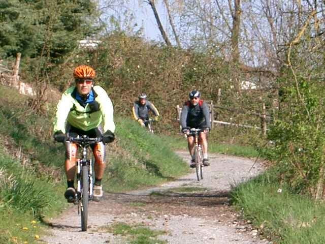
Kleine Runde durchs Zabergäu

Carte du tour et altitude

  • Open Street Map
  • Google
Minimum height 167 m Maximum height 324 m Vue de détail

More about the tour author

Uli
Member since 2005

Send private message

Commentaires

Andreas Jung on 28.10.2006

Schöne Gegend.Die Tour führt leider sehr viel über öffentliche Straßen und sit vollständig "trailfrei".
Start ist in Weiler Hohenbergstr.21
Karte unter www.radsportwagner.de

Tracks GPS

Trackpoints
  • GPX / Garmin Map Source (gpx) download
  • TCX / Garmin Training Center® (tcx) download
  • CRS / Garmin Training Center® (crs) download
  • Google Earth (kml) download
  • G7ToWin (g7t) download
  • TTQV (trk) download
  • Overlay (ovl) download
  • Fugawi (txt) download
  • Kompass (DAV) Track (tk) download
  • Feuille de tours (pdf) download
  • Original file of the author (g7t) download

More about the tour author

Uli
Member since 2005

Send private message
Share track
Add to my favorites
Remove from my favorites
Edit tags
My score
Rate
Tour: Zabergäurunde
Cat.: Mountainbike
Longueur: 45,1 km
Evaluated on:
Durée:
Day(s)
Hour(s)
Minute(s)
Evaluation: Paysage Aspect amusement Condition Technique