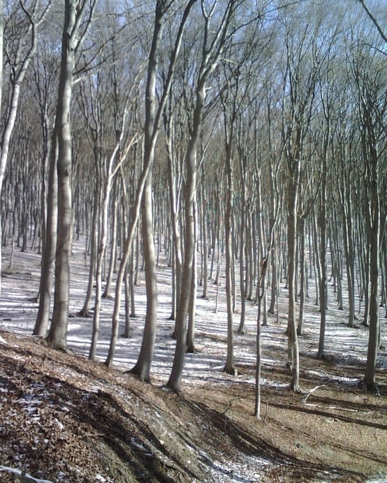
Ausgehend von Althodis führt der Weg im Bereich des Naturparkes Geschriebenstein Richtung Gr. Hirschenstein. Oben angelangt steht man am Sendemasten des ORF. Weiter geht es Richtung Geschriebenstein. Vor der Bundesstraße wird zum Landespflegeheim abgebogen und wieder zurück zum Startpunkt.
Further information at
http://www.naturpark-geschriebenstein.atCarte du tour et altitude
Minimum height 446 m
Maximum height 889 m
Commentaires

Oberwart - Stadt Schlaining - Markt Neuhodis - Althodis
Tracks GPS
Trackpoints-
GPX / Garmin Map Source (gpx) download
-
TCX / Garmin Training Center® (tcx) download
-
CRS / Garmin Training Center® (crs) download
-
Google Earth (kml) download
-
G7ToWin (g7t) download
-
TTQV (trk) download
-
Overlay (ovl) download
-
Fugawi (txt) download
-
Kompass (DAV) Track (tk) download
-
Feuille de tours (pdf) download
-
Original file of the author (gpx) download
Add to my favorites
Remove from my favorites
Edit tags
Open track
My score
Rate


