
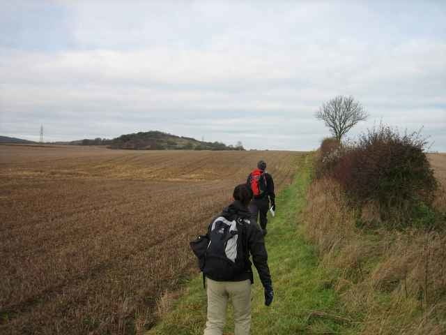

This easy walk takes place in the Chiltern hils north-west of London. It uses part of the Ridgeway Path, a signposted public footpath which runs along an escarpment which was in ancient times a route of trade from east to west England.
There are two pubs en route which you can stop at for lunch, as well as one at the end for a cup of tea or coffee.
There are two pubs en route which you can stop at for lunch, as well as one at the end for a cup of tea or coffee.
Further information at
http://matt.malcomson.com/2005/12/06/the-ridgeway/Galerie du tour

Carte du tour et altitude
Minimum height 67 m
Maximum height 257 m
More about the tour author

|
zangezur |
Commentaires

Saunderton train station is the start and end of the walk, and can be reached in about 45 minutes from Marylebone train station in London. You can get train times from http://www.nationalrail.co.uk/.
Tracks GPS
Trackpoints-
GPX / Garmin Map Source (gpx) download
-
TCX / Garmin Training Center® (tcx) download
-
CRS / Garmin Training Center® (crs) download
-
Google Earth (kml) download
-
G7ToWin (g7t) download
-
TTQV (trk) download
-
Overlay (ovl) download
-
Fugawi (txt) download
-
Kompass (DAV) Track (tk) download
-
Feuille de tours (pdf) download
-
Original file of the author (gpx) download
More about the tour author
|
|
zangezur |
Add to my favorites
Remove from my favorites
Edit tags
Open track
My score
Rate