
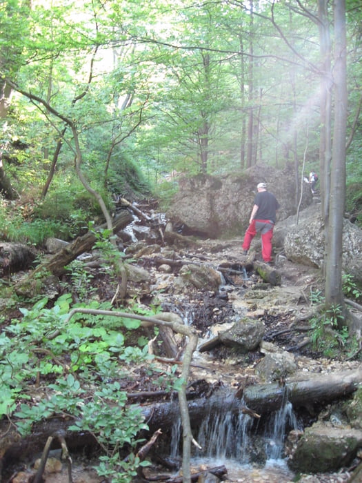

Auta sme nechali v Bielom potoku a odtial sme sa vybrali spolu sdetmi do Janosikovych dier. Cez dolne sme presli do hornych a vysli az do sedla Medzirosutce. Povodne sme sa chceli cez Maly Rozsutec vratit naspad do Bieleho potoka. Jedna pre velku "tlacenicu" na Malom Rozsutci a jedna preto, ze niektorym sa uz nechcelo slapat hore, sme zmenili plan a vydali sa pod Velkym Rozsutcom do Stefanovej. Kedzce niektory clenovia, toho mali uz dost, isli do Terchovej autobusom. So svagrom sme sa vratili cez diery, ktore sme rano vynechali po auta do Bieleho potoka.
Galerie du tour


Carte du tour et altitude
Minimum height 562 m
Maximum height 1205 m
More about the tour author

|
svkvlf |
Commentaires

Tracks GPS
Trackpoints-
GPX / Garmin Map Source (gpx) download
-
TCX / Garmin Training Center® (tcx) download
-
CRS / Garmin Training Center® (crs) download
-
Google Earth (kml) download
-
G7ToWin (g7t) download
-
TTQV (trk) download
-
Overlay (ovl) download
-
Fugawi (txt) download
-
Kompass (DAV) Track (tk) download
-
Feuille de tours (pdf) download
-
Original file of the author (gpx) download
More about the tour author
|
|
svkvlf |
Add to my favorites
Remove from my favorites
Edit tags
Open track
My score
Rate