


Endlich ! Ein Goldstadtklassiker der ersten Sunde - 100% original Strecke.
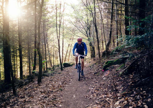
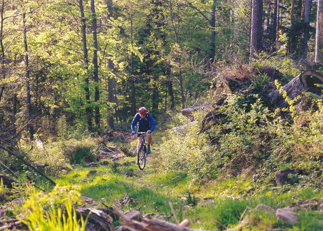
Gut 50km führen bei 1000hm durch die 3 Flusstäler Pforzheims: Enz, Nagold und Würm. Größtenteils Waldweg , ab und zu Trailpassagen. Hervorzuheben ist hier der Anstieg von Unterreichenbach auf die Hohe Warte und die Abfahrt ins Würmtal auf dem Schützensteig.
Fahrbar: ganzjährig.
Galerie du tour

Carte du tour et altitude
Minimum height 250 m
Maximum height 697 m
More about the tour author

|
pb |
Commentaires

günstiger Ausgangspunkt ist der Pforzheimer Messplatz (Habermehlstrasse) oder Kupferhammer
Tracks GPS
Trackpoints-
GPX / Garmin Map Source (gpx) download
-
TCX / Garmin Training Center® (tcx) download
-
CRS / Garmin Training Center® (crs) download
-
Google Earth (kml) download
-
G7ToWin (g7t) download
-
TTQV (trk) download
-
Overlay (ovl) download
-
Fugawi (txt) download
-
Kompass (DAV) Track (tk) download
-
Feuille de tours (pdf) download
-
Original file of the author (gpx) download
More about the tour author
|
|
pb |
Add to my favorites
Remove from my favorites
Edit tags
Open track
My score
Rate