


Ausgangpunkt Worthkreuzung - Fuelbeckerstaumauersockel - erster Anstieg bis über Rundwanderwegniveau - weiter hoch bis zur Kreuzung und dann recht ab - nach Niedergockelshohl vorbei am Bauernhof (schöne Weihnachtsbäume zu Weihnachten) weiter hoch nach OBI - links ab Richtung Werdohl am Kreisel rechts runter nach Wettringhof bis zum Stopschild - Hauptstrasse überqueren und recht runter dann links an Firma vorbei hoch - Anstieg nach Leifringhausen - Kalve - Klinkum Lüdenscheid - Birbaum - am Sportplatz rechtshalten - Räther hinunter - nach Neuenhof - hoch zur Berglandklink -hoch zum Kulturhaus - ggf weiter durch die Stadt zum Ausgangpunkt
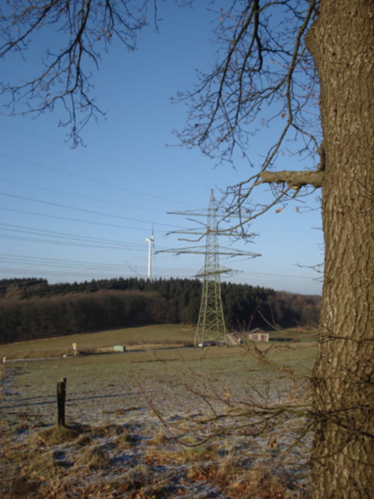
Galerie du tour
Carte du tour et altitude
Minimum height 259 m
Maximum height 476 m
More about the tour author
|
|
svenv0 |
Commentaires

Tracks GPS
Trackpoints-
GPX / Garmin Map Source (gpx) download
-
TCX / Garmin Training Center® (tcx) download
-
CRS / Garmin Training Center® (crs) download
-
Google Earth (kml) download
-
G7ToWin (g7t) download
-
TTQV (trk) download
-
Overlay (ovl) download
-
Fugawi (txt) download
-
Kompass (DAV) Track (tk) download
-
Feuille de tours (pdf) download
-
Original file of the author (gpx) download
More about the tour author
|
|
svenv0 |
Add to my favorites
Remove from my favorites
Edit tags
Open track
My score
Rate