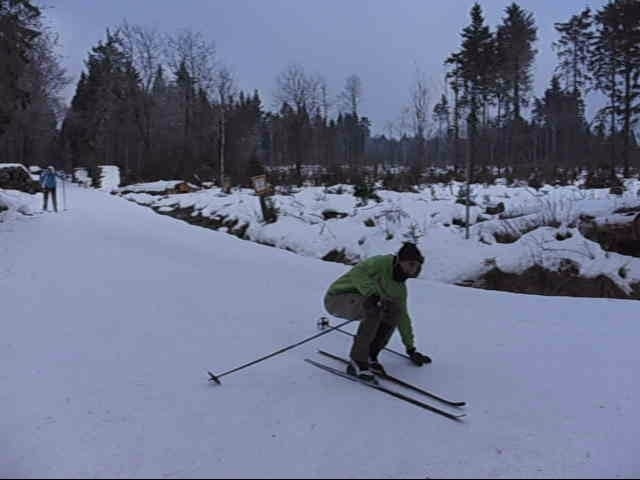
Schöne Rundtour auf gespurten Loipen in der hess. und bayr. Rhön. Von der Wasserkuppe durchs Rote Moor bis an das Jagschloß Holzberg und wieder zurück.
Lasst euch von den Bildern im Nebel nicht täuschen, die Landschaft dort ist nämlich wirklich superschön und das Rote Moor ist ein echtes Highlight....
Galerie du tour
Carte du tour et altitude
Minimum height 757 m
Maximum height 858 m
Commentaires

Tracks GPS
Trackpoints-
GPX / Garmin Map Source (gpx) download
-
TCX / Garmin Training Center® (tcx) download
-
CRS / Garmin Training Center® (crs) download
-
Google Earth (kml) download
-
G7ToWin (g7t) download
-
TTQV (trk) download
-
Overlay (ovl) download
-
Fugawi (txt) download
-
Kompass (DAV) Track (tk) download
-
Feuille de tours (pdf) download
-
Original file of the author (gpx) download
Add to my favorites
Remove from my favorites
Edit tags
Open track
My score
Rate

