Login

Login oublié ?

Cookies have to be accepted!
Your browser's cookie functionality is disabled. Please enable this functionality.

Not a member yet?

Register now
Login

Available for registred users only

Log in to use this feature.

Login oublié ?

Cookies have to be accepted!
Your browser's cookie functionality is disabled. Please enable this functionality.

Not a member yet?

Register now
Filter
Catégories
Advanced filters
  • Longueur (km)
  • Altimètre
Enregistrer le filtre Reset filter

TrackRank

QRCode

Technical data

Longueur5,9 km Altimètre1141 m Way down5 m Durée05:00 h:m Date07.01.2009
Evaluations Author Paysage Aspect amusement Condition Technique

Statistiques

3978 Vues Evaluations 266 Téléchargements Moyenne
Rate
  • Feuille de tours
  • Arrivée
  • Téléchargements

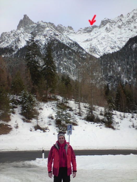
Skitour mit Aufstieg von Mittenwald zur Westlichen Karwendelspitze durch die Dammkar.

Das letzte Stück durch den Tunnel (Fußmarsch, ca. 350m) ist nicht aufgezeichnet.

Galerie du tour

Carte du tour et altitude

  • Open Street Map
  • Google
Minimum height 1015 m Maximum height 2210 m Vue de détail

More about the tour author

asso
Member since 2008

Send private message

Commentaires

Tracks GPS

Trackpoints
  • GPX / Garmin Map Source (gpx) download
  • TCX / Garmin Training Center® (tcx) download
  • CRS / Garmin Training Center® (crs) download
  • Google Earth (kml) download
  • G7ToWin (g7t) download
  • TTQV (trk) download
  • Overlay (ovl) download
  • Fugawi (txt) download
  • Kompass (DAV) Track (tk) download
  • Feuille de tours (pdf) download
  • Original file of the author (gpx) download

More about the tour author

asso
Member since 2008

Send private message
Share track
Add to my favorites
Remove from my favorites
Edit tags
My score
Rate
Tour: Dammkar- Westliche Karwendelspitze
Cat.: Ski touring
Longueur: 5,9 km
Evaluated on:
Durée:
Day(s)
Hour(s)
Minute(s)
Evaluation: Paysage Aspect amusement Condition Technique