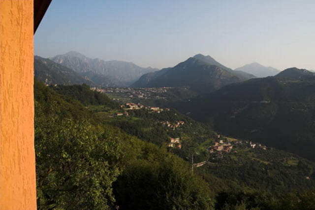
Da die Tour schon länger her ist und etwas wirr am Anfang war verweise ich lieber auf Moser Guide da ist die Tourbeschreibung drin, aus dem Gedächtnis bekomme ich es nicht mehr hin.
Galerie du tour
Carte du tour et altitude
Minimum height 362 m
Maximum height 808 m
Commentaires

Von Riva kommend in Limone bergauf und Richtung Vesio dann an Kreuzung in Tremosine links Richtung Villa und Pieve.
Tracks GPS
Trackpoints-
GPX / Garmin Map Source (gpx) download
-
TCX / Garmin Training Center® (tcx) download
-
CRS / Garmin Training Center® (crs) download
-
Google Earth (kml) download
-
G7ToWin (g7t) download
-
TTQV (trk) download
-
Overlay (ovl) download
-
Fugawi (txt) download
-
Kompass (DAV) Track (tk) download
-
Feuille de tours (pdf) download
-
Original file of the author (gpx) download
Add to my favorites
Remove from my favorites
Edit tags
Open track
My score
Rate


