
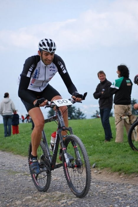

Strecke M³ extrem
Startnummernausgabe und Nachnennung:
Haus des Gastes
Freitag, 14:00 - 20:00 Uhr
Start: 7:30 Uhr
Schruns „Haus des Gastes“
Strecke: Schruns – Tschagguns- St. Gallenkirch – Gaschurn – Partenen – Kops – Galtür – Bielerhöhe – Partenen – Gaschurn- St. Gallenkirch – Schruns - Silbertal – Kristberg – Rellseck – Bartholomäberg – Gantschier – Vandans – Matschwitz – Latschau – Bitschweil – Schruns
Länge: 145 km
Höhendifferenz : 4.400 HM
Ziel Schruns Kirchplatz
Zeitlimits:
Schruns – 14:00 Uhr
Vandans – 17:00 Uhr
Ziel – 19:00 Uhr
Verpflegung und Technische Assistenz Zone (TAZ) und Technische Assistenz Zone (TAZ):
Galtür bei Kilometer 45
Schruns bei Kilometer 87 und 155
Kristberg bei Kilometer 107
Vandans bei Kilometer 135
Stargeld: € 35,00 bis zum 15. Mai
€ 40,00 bisa zum 27. juli
Nachnennung plus € 10,00 bis 1,5 Std. vor dem Start
Pfand für Zeitnehmung: € 40,00
Wertung: Damen, Herren, Masters, Junioren
Wertung lt. UCI C2
Further information at
http://www.montafon-m3.atGalerie du tour

Carte du tour et altitude
Minimum height 638 m
Maximum height 2036 m
More about the tour author
|
|
MTBC_Montafon |
Commentaires

Tracks GPS
Trackpoints-
GPX / Garmin Map Source (gpx) download
-
TCX / Garmin Training Center® (tcx) download
-
CRS / Garmin Training Center® (crs) download
-
Google Earth (kml) download
-
G7ToWin (g7t) download
-
TTQV (trk) download
-
Overlay (ovl) download
-
Fugawi (txt) download
-
Kompass (DAV) Track (tk) download
-
Feuille de tours (pdf) download
-
Original file of the author (gpx) download
More about the tour author
|
|
MTBC_Montafon |
Add to my favorites
Remove from my favorites
Edit tags
Open track
My score
Rate