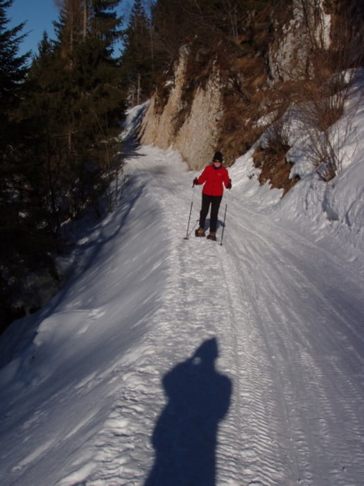
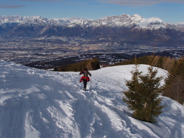
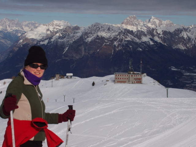
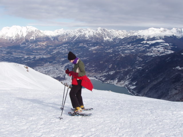
Un bel giro con le racchette da neve dapprima per boschi di pini e poi in ambiente aperto.
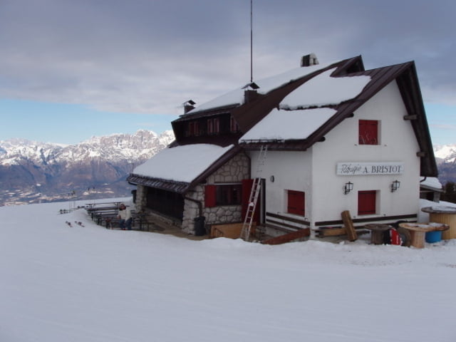
La pista è sempre battuta ed in ottime condizioni, a metà giro e quasi al termine di esso vi è la possibilità di usufruire di rifugio alpino per ristorante e servizi. In particolare il Rifugio Bristot ed il ristorante 'La Casera' in località Faverghera.
Si attraversano molte piste da sci (attenzione!) ma il percorso è su stradina forestale salendo e sulle ampie creste panoramiche scendendo, in definitiva per tutti e sempre ampio.
La discesa per le creste è molto remunrativa, quasi sempre già battuta da scialpinisti, è meglio non calpestare le tracce di scialpinismo per non rovinare la loro pista.
ore 2,30 - Sviluppo Km. 7 circa
Further information at
http://www.magicoveneto.itGalerie du tour
Carte du tour et altitude
Commentaires

Da belluno al piazzale del Nevegal, poi per strada asfaltata verso località Faverghera. al sesto tornante si parcheggia su ampio spiazzo.
Tracks GPS
Trackpoints-
GPX / Garmin Map Source (gpx) download
-
TCX / Garmin Training Center® (tcx) download
-
CRS / Garmin Training Center® (crs) download
-
Google Earth (kml) download
-
G7ToWin (g7t) download
-
TTQV (trk) download
-
Overlay (ovl) download
-
Fugawi (txt) download
-
Kompass (DAV) Track (tk) download
-
Feuille de tours (pdf) download
-
Original file of the author (gpx) download

