Login

Login oublié ?

Cookies have to be accepted!
Your browser's cookie functionality is disabled. Please enable this functionality.

Not a member yet?

Register now
Login

Available for registred users only

Log in to use this feature.

Login oublié ?

Cookies have to be accepted!
Your browser's cookie functionality is disabled. Please enable this functionality.

Not a member yet?

Register now
Filter
Catégories
Advanced filters
  • Longueur (km)
  • Altimètre
Enregistrer le filtre Reset filter

TrackRank

QRCode

Technical data

Longueur22,6 km Altimètre1007 m Way down976 m Durée00:00 h:m Date13.01.2009
Evaluations Author Paysage Aspect amusement Condition Technique

Statistiques

436 Vues Evaluations 20 Téléchargements Moyenne
Rate
  • Feuille de tours
  • Arrivée
  • Téléchargements
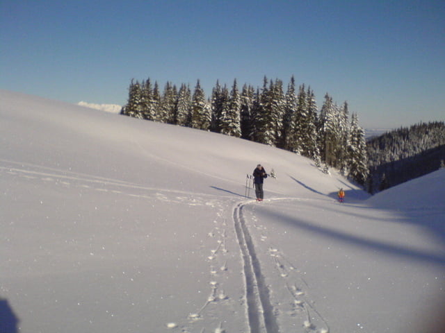
vyrazili sme na jednodnovy vylet na chatu andrejcova bolo uzastne pocasie, uzastny sneh, ale zima.. tak - 15°C. takisto sme aj zatmeli zlyzovali sme uz len pri celovke..:D

Galerie du tour

Carte du tour et altitude

  • Open Street Map
  • Google
Minimum height 902 m Maximum height 1432 m Vue de détail

More about the tour author

svejk
Member since 2008

Send private message

Commentaires

Tracks GPS

Trackpoints
  • GPX / Garmin Map Source (gpx) download
  • TCX / Garmin Training Center® (tcx) download
  • CRS / Garmin Training Center® (crs) download
  • Google Earth (kml) download
  • G7ToWin (g7t) download
  • TTQV (trk) download
  • Overlay (ovl) download
  • Fugawi (txt) download
  • Kompass (DAV) Track (tk) download
  • Feuille de tours (pdf) download
  • Original file of the author (gpx) download

More about the tour author

svejk
Member since 2008

Send private message
Share track
Add to my favorites
Remove from my favorites
Edit tags
My score
Rate
Tour: utulna andrejcova
Cat.: Ski touring
Longueur: 22,6 km
Evaluated on:
Durée:
Day(s)
Hour(s)
Minute(s)
Evaluation: Paysage Aspect amusement Condition Technique