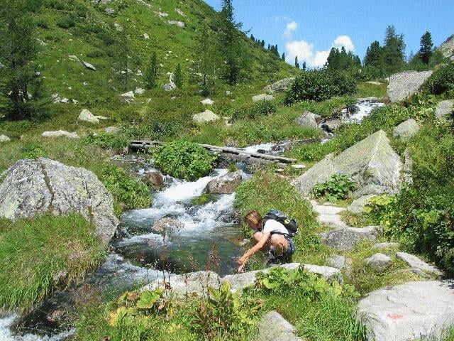
Auch hier vermisste ich mein Mountain-Bike, welches bis zum Kalser Tauernhaus angenehm zu fahren gewesen wäre. Dort angekommen steigt man durch liebliche Landschaft zum ebensolchen See auf.
Galerie du tour
Carte du tour et altitude
Minimum height 1465 m
Maximum height 1966 m
Commentaires

Tracks GPS
Trackpoints-
GPX / Garmin Map Source (gpx) download
-
TCX / Garmin Training Center® (tcx) download
-
CRS / Garmin Training Center® (crs) download
-
Google Earth (kml) download
-
G7ToWin (g7t) download
-
TTQV (trk) download
-
Overlay (ovl) download
-
Fugawi (txt) download
-
Kompass (DAV) Track (tk) download
-
Feuille de tours (pdf) download
-
Original file of the author (g7t) download
Add to my favorites
Remove from my favorites
Edit tags
Open track
My score
Rate


