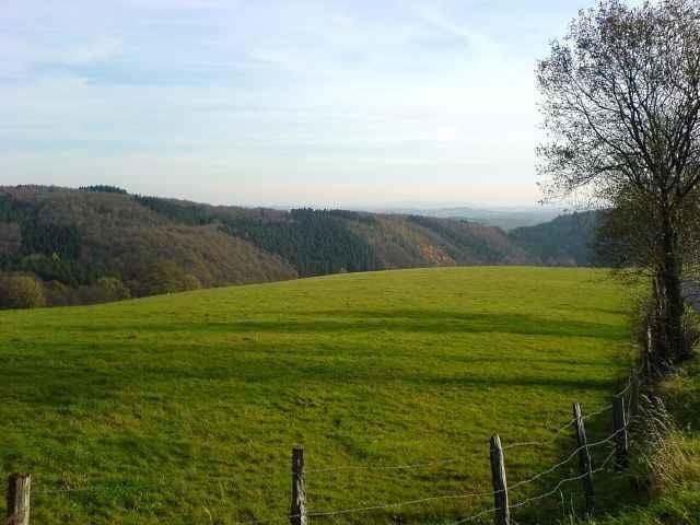
Von Hamm über Roth und Eichelhard nach Erbach. Von dort wieder zurück nach Hamm, runter nach Fürthen und dann durchs Bellingertal nach Hallscheid. Durchs Bachtal an die Sieg. Über Imhausen ins Irsetal. Über Wölmersen und Helmenzen zum Beulskopf. Von dort wieder zurück nach Hamm.
Carte du tour et altitude
Minimum height 134 m
Maximum height 365 m
Commentaires

Tracks GPS
Trackpoints-
GPX / Garmin Map Source (gpx) download
-
TCX / Garmin Training Center® (tcx) download
-
CRS / Garmin Training Center® (crs) download
-
Google Earth (kml) download
-
G7ToWin (g7t) download
-
TTQV (trk) download
-
Overlay (ovl) download
-
Fugawi (txt) download
-
Kompass (DAV) Track (tk) download
-
Feuille de tours (pdf) download
-
Original file of the author (g7t) download
Add to my favorites
Remove from my favorites
Edit tags
Open track
My score
Rate

