


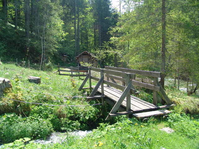
Startpunkt ist das alte Rüsthaus/Forstverwaltung (N47 27.831 E14 07.767) in Donnersbach. Es geht hinauf zur alten Lodenwalkerei Richtung Moseralm. Der Track führt entlang eines verwilderten Steiges wieder hinunter zum alten Fußballplatz, über die Brücke und schon ist man beim Einstieg zur Donnersbacher Klamm. Die Klamm ist sehr angenehm an heißen Sommertagen und wird von der Gemeinde sehr gut gepflegt und deswegen in einemsehr guten Zustand. Diese Variante führt am Ausgang der Klamm weiter Richtung Plannerstraße der man dann ins Tal folgt. Bevor man am Ausgangspunkt angelangt, erhält man die Möglichkeit eine historische Stätte zu besichtigen (N47 27.592 E14 08.079), die Ägydikirche.
Further information at
http://www.donnersbach.atGalerie du tour
Carte du tour et altitude
Minimum height 693 m
Maximum height 874 m
More about the tour author

|
Commentaires

N47 27.831 E14 07.767
Tracks GPS
Trackpoints-
GPX / Garmin Map Source (gpx) download
-
TCX / Garmin Training Center® (tcx) download
-
CRS / Garmin Training Center® (crs) download
-
Google Earth (kml) download
-
G7ToWin (g7t) download
-
TTQV (trk) download
-
Overlay (ovl) download
-
Fugawi (txt) download
-
Kompass (DAV) Track (tk) download
-
Feuille de tours (pdf) download
More about the tour author
|
|
Add to my favorites
Remove from my favorites
Edit tags
Open track
My score
Rate