Un percorso ad anello che si presta bene anche ad allenamenti di corsa in montagna.
Il tragitto è sempre su ampi sentieri e piste forestali ed è adatto a tutti.
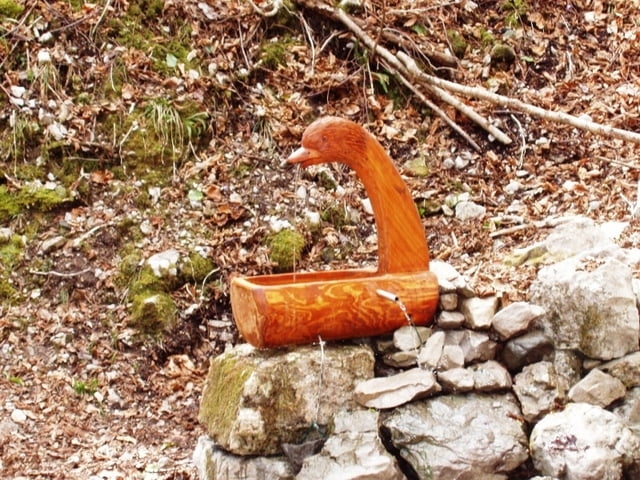
Dapprima circa un chilometro su strada asfaltata, poi su pista forestale che attraversa anche 400 metri di galleria con aperture laterali che offrono una certa visibilità all'attraversamento. Una discesa con undici tornanti sempre per pista forestale porta giù al Ponte Mariano e quindi una larga mulattiera (preziosa acqua sulla fontanella di Beniamino) fa ritornare alla località Case Bortot (a Case Bortot Bar-Ristorante)
Si scende quindi per mulattiera all'orrido del Ponte della Mortìs (ponte recente in cemento, sotto una gola rocciosa larga una decina di metri e profonda circa quaranta) e si risale nuovamente il Col di Roanza seguendo il largo sentiero che poi diviene pista forestale sino a raccordarsi alla rotabile asfaltata.
Circa tre ore e mezza per il percorso camminando piano, con dodici Km di sviluppo.
Further information at
http://www.lemontagne.itGalerie du tour
Carte du tour et altitude
Commentaires

Tracks GPS
Trackpoints-
GPX / Garmin Map Source (gpx) download
-
TCX / Garmin Training Center® (tcx) download
-
CRS / Garmin Training Center® (crs) download
-
Google Earth (kml) download
-
G7ToWin (g7t) download
-
TTQV (trk) download
-
Overlay (ovl) download
-
Fugawi (txt) download
-
Kompass (DAV) Track (tk) download
-
Feuille de tours (pdf) download
-
Original file of the author (gpx) download


