

-Einrollen Oppen, Erbringen (Radweg Beckingen)
-Hoch zum Pano Weg
-Hoch zum Muni Depot
-Trail Muni Depot
-Trail Einstieg Bietzener
-Trail Oligtal
-Trail Paul Schröder Weg
-Fischerberghaus
-Trail Widder und zurück zum Muni Depot
-Trail Stich Saar-Mosel Weg bis zum Pano Weg
-Ausrollen zum Startort
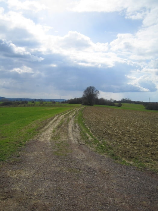
Hinweis: Teilweise werden Wanderwege benutzt. Wanderer haben deshalb Vorrang. Strecke nur bei trockener Witterung befahren. Tolle Aussichten ins Haustadter Tal , Saarlouiser Berg, Hunsrückkamm, Saartal.
Carte du tour et altitude
Minimum height 179 m
Maximum height 412 m
More about the tour author

|
lis |
Commentaires

Parkmöglichkeit: Festplatz Oppen
Tracks GPS
Trackpoints-
GPX / Garmin Map Source (gpx) download
-
TCX / Garmin Training Center® (tcx) download
-
CRS / Garmin Training Center® (crs) download
-
Google Earth (kml) download
-
G7ToWin (g7t) download
-
TTQV (trk) download
-
Overlay (ovl) download
-
Fugawi (txt) download
-
Kompass (DAV) Track (tk) download
-
Feuille de tours (pdf) download
-
Original file of the author (gpx) download
More about the tour author
|
|
lis |
Add to my favorites
Remove from my favorites
Edit tags
Open track
My score
Rate