Login

Login oublié ?

Cookies have to be accepted!
Your browser's cookie functionality is disabled. Please enable this functionality.

Not a member yet?

Register now
Login

Available for registred users only

Log in to use this feature.

Login oublié ?

Cookies have to be accepted!
Your browser's cookie functionality is disabled. Please enable this functionality.

Not a member yet?

Register now
Filter
Catégories
Advanced filters
  • Longueur (km)
  • Altimètre
Enregistrer le filtre Reset filter

TrackRank

QRCode

Technical data

Longueur2,8 km Altimètre1060 m Way down54 m Durée00:00 h:m Date17.03.2009
Evaluations Author Paysage Aspect amusement Condition Technique

Statistiques

344 Vues Evaluations 10 Téléchargements Moyenne
Rate
  • Feuille de tours
  • Arrivée
  • Téléchargements
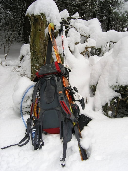
Snaha o zimný výstup (13.03.2009 !) z obce Valaská Dubová po modrej značke na Choč. Skialpinistické lyže s pásmi boli v tejto časti výstupu nepoužiteľné pre úzky a strmý chodník, v hornej časti bolo veľa popadaných stromov a aj pre veľmi sypký sneh (miestami dosahoval výšku 70-80cm). Za týchto podmienok by boli použiteľné snežnice (ktoré som však nemal :().

Galerie du tour

Carte du tour et altitude

  • Open Street Map
  • Google
Minimum height 212 m Maximum height 1219 m Vue de détail

More about the tour author

maco
Member since 2008

Send private message

Commentaires

Tracks GPS

Trackpoints
  • GPX / Garmin Map Source (gpx) download
  • TCX / Garmin Training Center® (tcx) download
  • CRS / Garmin Training Center® (crs) download
  • Google Earth (kml) download
  • G7ToWin (g7t) download
  • TTQV (trk) download
  • Overlay (ovl) download
  • Fugawi (txt) download
  • Kompass (DAV) Track (tk) download
  • Feuille de tours (pdf) download
  • Original file of the author (gpx) download

More about the tour author

maco
Member since 2008

Send private message
Share track
Add to my favorites
Remove from my favorites
Edit tags
My score
Rate
Tour: Valaská Dubová_Stredná poľana (Chočské vrchy)_Slovakia
Cat.: Tour en montagne
Longueur: 2,8 km
Evaluated on:
Durée:
Day(s)
Hour(s)
Minute(s)
Evaluation: Paysage Aspect amusement Condition Technique