Login

Login oublié ?

Cookies have to be accepted!
Your browser's cookie functionality is disabled. Please enable this functionality.

Not a member yet?

Register now
Login

Available for registred users only

Log in to use this feature.

Login oublié ?

Cookies have to be accepted!
Your browser's cookie functionality is disabled. Please enable this functionality.

Not a member yet?

Register now
Filter
Catégories
Advanced filters
  • Longueur (km)
  • Altimètre
Enregistrer le filtre Reset filter

TrackRank

QRCode

Technical data

Longueur13,0 km Altimètre610 m Way down1270 m Durée03:30 h:m Date03.04.2006
Evaluations Author Paysage Aspect amusement Condition Technique

Statistiques

1208 Vues Evaluations 53 Téléchargements Moyenne
Rate
  • Feuille de tours
  • Arrivée
  • Téléchargements
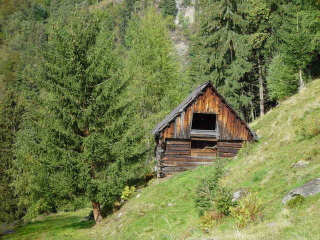
Ab dem Gasthof Stieg in der Planneralm gehen wir Richtung Schober Entlang der "Schneid" auf den Karlspitz. Von dort geht man dann zur Michlirlingalm. Dort kann man eine längere Pause beim See einlegen bevor es wieder runter ins Tal geht. Achtung! Transfer vorher planen!

Further information at

http://www.planneralm.at

Galerie du tour

Carte du tour et altitude

  • Open Street Map
  • Google
Minimum height 943 m Maximum height 2101 m Vue de détail

More about the tour author

Fix&Foxi

Commentaires

N47 24.247 E14 11.969

Tracks GPS

Trackpoints
  • GPX / Garmin Map Source (gpx) download
  • TCX / Garmin Training Center® (tcx) download
  • CRS / Garmin Training Center® (crs) download
  • Google Earth (kml) download
  • G7ToWin (g7t) download
  • TTQV (trk) download
  • Overlay (ovl) download
  • Fugawi (txt) download
  • Kompass (DAV) Track (tk) download
  • Feuille de tours (pdf) download

More about the tour author

Fix&Foxi

Share track
Add to my favorites
Remove from my favorites
Edit tags
My score
Rate
Tour: Planneralm; Planneralm-Karlspitz-Michlirlingalm-Donnersbachwald
Cat.: Randonnées
Longueur: 13,0 km
Evaluated on:
Durée:
Day(s)
Hour(s)
Minute(s)
Evaluation: Paysage Aspect amusement Condition Technique