Login

Login oublié ?

Cookies have to be accepted!
Your browser's cookie functionality is disabled. Please enable this functionality.

Not a member yet?

Register now
Login

Available for registred users only

Log in to use this feature.

Login oublié ?

Cookies have to be accepted!
Your browser's cookie functionality is disabled. Please enable this functionality.

Not a member yet?

Register now
Filter
Catégories
Advanced filters
  • Longueur (km)
  • Altimètre
Enregistrer le filtre Reset filter

TrackRank

QRCode

Technical data

Longueur13,8 km Altimètre338 m Way down341 m Durée02:38 h:m Date28.03.2009
Evaluations Author Paysage Aspect amusement Condition Technique

Statistiques

340 Vues Evaluations 27 Téléchargements Moyenne
Rate
  • Feuille de tours
  • Arrivée
  • Téléchargements

28.3.2009

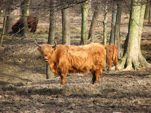
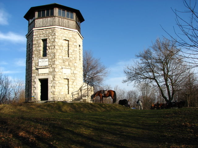
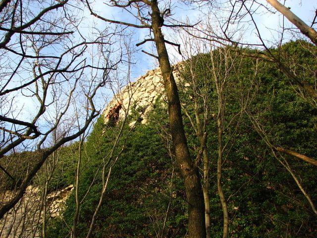
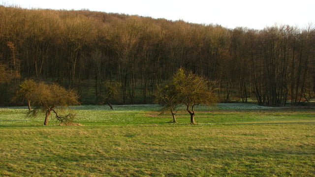
Poobede sme chceli ísť ako rodina na výlet. Tak som navrhol môj obľúbený, a to autom do Mannersdorf am Leithagebirge. Odtiaľ pešo cez kláštor sv. Anny, okolo pustovní až na rozhľadňu Kaiserreiche. Odtiaľ sme šli späť cez zrúcaninu Scharfeneck. Cestou späť sme taktiež videli pekný západ slnka nad Alpami. Veľmi pekný výletík.

Galerie du tour

Carte du tour et altitude

  • Open Street Map
  • Google
Minimum height 225 m Maximum height 451 m Vue de détail

More about the tour author

tmax
Member since 2007

Send private message

Commentaires

Mannersdorf am Leithagebirge

Tracks GPS

Trackpoints
  • GPX / Garmin Map Source (gpx) download
  • TCX / Garmin Training Center® (tcx) download
  • CRS / Garmin Training Center® (crs) download
  • Google Earth (kml) download
  • G7ToWin (g7t) download
  • TTQV (trk) download
  • Overlay (ovl) download
  • Fugawi (txt) download
  • Kompass (DAV) Track (tk) download
  • Feuille de tours (pdf) download
  • Original file of the author (gpx) download

More about the tour author

tmax
Member since 2007

Send private message
Share track
Add to my favorites
Remove from my favorites
Edit tags
My score
Rate
Tour: 20090328_2_Kláštor sv. Anny, Kaiserreiche a Scharfeneck
Cat.: Randonnées
Longueur: 13,8 km
Evaluated on:
Durée:
Day(s)
Hour(s)
Minute(s)
Evaluation: Paysage Aspect amusement Condition Technique