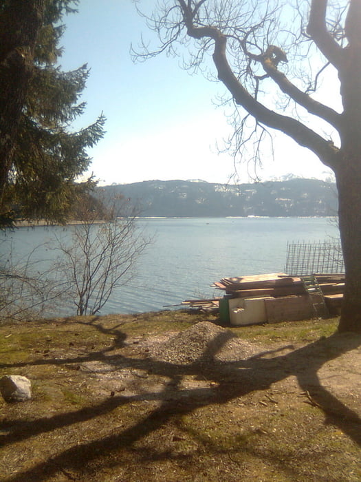
Wunderschöne Tour zum Walchensee und wieder zurück.
ACHTUNG !!
Nach Penzberg (St2370) sind wir vor ZELL (Km 71) links auf einen Forstwirtschaftlichen Weg gefahren. Auf der Straße gibt es leider ein kleines Stück (300m) was unbefestigt ist. Wer das Stück umfahren möchte bleibt einfach auf der Dorfstraße (St2370) und fährt nach Unterau und dann wieder auf die St2062 Richtung Kochel am See.
Viel Spaß beim Radeln.
Über einen positiven Kommentar würde ich mich sehr freuen. :-)
Carte du tour et altitude
Minimum height 501 m
Maximum height 891 m
Commentaires

Tracks GPS
Trackpoints-
GPX / Garmin Map Source (gpx) download
-
TCX / Garmin Training Center® (tcx) download
-
CRS / Garmin Training Center® (crs) download
-
Google Earth (kml) download
-
G7ToWin (g7t) download
-
TTQV (trk) download
-
Overlay (ovl) download
-
Fugawi (txt) download
-
Kompass (DAV) Track (tk) download
-
Feuille de tours (pdf) download
-
Original file of the author (gpx) download
Add to my favorites
Remove from my favorites
Edit tags
Open track
My score
Rate

