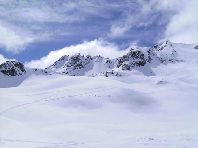
Parken an der Julierpassstraße ca. 1 ½ km nach dem Julierpass Richtung Silvaplana. Der Parkplatz (2196m) mit Infotafel ist in der Regel großzügig ausgeräumt.
Aufstieg Richtung Süden, unter der Hochspannungsleitung durch in wechselnder Steilheit zu einem Rastplatz oberhalb eines kleinen zugefrorenen Sees. Ab hier ist der Gipfel in Sicht. Über den Vadret Lagrev zum Gipfel. Man wird sich mit dem ersten Nebengipfel mit einer automatischen Messstation des Schweizer Lawinenwarndienstes (3085m) zufrieden geben. Mit Ski könnte eine weiterer Nebengipfel weiter westlich bestiegen werden. Der Hauptgipfel, 3164 m, ist nur durch einen ca. 1 km langen Grat zu Fuß zu erreichen und wird im Winter kaum begangen. Vom Gipfel prächtige Aussicht auf die gegenüberliegende Berninagruppe und Biancograt usw.
Abfahrt in der Nähe der Aufstiegsspur. Der gesamte Anstieg ist nordostseitig ausgerichtet, deshalb ist mit Pulverschnee, aber auch mit erhöhter Lawinengefahr zu rechnen.
Further information at
http://www.laveduta.ch/de/homeGalerie du tour
Carte du tour et altitude
Commentaires

Tracks GPS
Trackpoints-
GPX / Garmin Map Source (gpx) download
-
TCX / Garmin Training Center® (tcx) download
-
CRS / Garmin Training Center® (crs) download
-
Google Earth (kml) download
-
G7ToWin (g7t) download
-
TTQV (trk) download
-
Overlay (ovl) download
-
Fugawi (txt) download
-
Kompass (DAV) Track (tk) download
-
Feuille de tours (pdf) download
-
Original file of the author (gpx) download


