

Premium Wanderweg wurde 2005 ausgezeichet. Er zeichnet sich durch Abwechslung aus und ist sehr gut beschildert.
Further information at
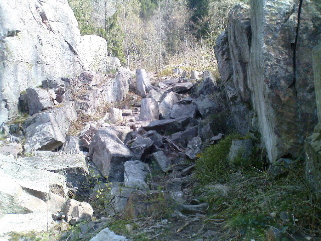
http://www.wanderbares-saarland.de/wanderwege/felsenweg.htmlGalerie du tour
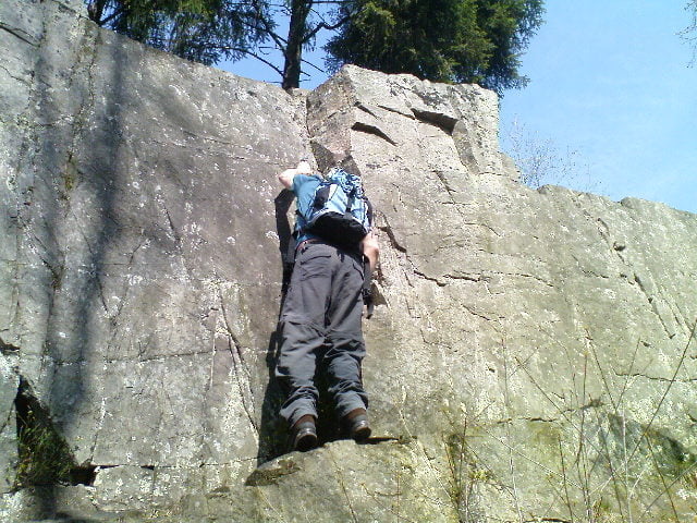


Carte du tour et altitude
Minimum height 336 m
Maximum height 594 m
More about the tour author

|
Joachimr |
Commentaires

Anfahrt ist über die B268, von Trier kommend hinter Britten geht es nach einigen hundert Metern, links ab Richtung Bergen, Scheiden und Waldholzbach. In Waldholzbach dem Wegweiser Backhaus folgen und gegenüber dem Backhaus befindet sich ein Parkplatz wo die Wanderung beginnen kann.
Tracks GPS
Trackpoints-
GPX / Garmin Map Source (gpx) download
-
TCX / Garmin Training Center® (tcx) download
-
CRS / Garmin Training Center® (crs) download
-
Google Earth (kml) download
-
G7ToWin (g7t) download
-
TTQV (trk) download
-
Overlay (ovl) download
-
Fugawi (txt) download
-
Kompass (DAV) Track (tk) download
-
Feuille de tours (pdf) download
-
Original file of the author (gpx) download
More about the tour author
|
|
Joachimr |
Add to my favorites
Remove from my favorites
Edit tags
Open track
My score
Rate