
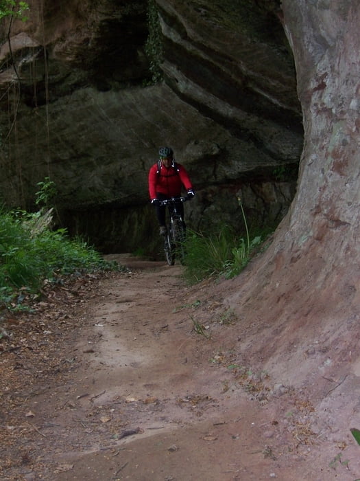

Anfangs einige Tragepassagen aufwärts im Einstieg Felsenweg, anschließend genial, technisch teilweise schwierig zu fahren. Später hinzu viele Trails, teilweise auch befestigte Waldwege. Richtung Spichern sind einige Tragepassagen, hier wurden Stufen angebracht, die teilweise nicht befahrbar sind. Am Ende des Spicherer Trails sind einige Downhills für Freaks.
Die Rückfahrt von Stiring-Wendel aus erfolgte bei der Tour aus Zeitgründen über die Straße.
Galerie du tour


Carte du tour et altitude
Minimum height 180 m
Maximum height 348 m
More about the tour author
|
|
Patbald |
Commentaires

Anfahrt über Saar-Leinenweg bis Güdingen, dann Einstieg in Felsenweg.
Tracks GPS
Trackpoints-
GPX / Garmin Map Source (gpx) download
-
TCX / Garmin Training Center® (tcx) download
-
CRS / Garmin Training Center® (crs) download
-
Google Earth (kml) download
-
G7ToWin (g7t) download
-
TTQV (trk) download
-
Overlay (ovl) download
-
Fugawi (txt) download
-
Kompass (DAV) Track (tk) download
-
Feuille de tours (pdf) download
-
Original file of the author (gpx) download
More about the tour author
|
|
Patbald |
Add to my favorites
Remove from my favorites
Edit tags
Open track
My score
Rate