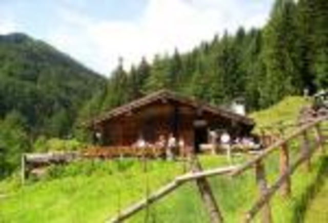
Nette Tour, auch für nach dem Feierabend, zur bewirtschafteten Kaitelalm.
Der Anstieg ist recht moderat und gut zu bewältigen. Die Abfahrt ist sehr flüssig und macht unheimlich viel Spass.
Es wird durchgehend auf Fahrradwegen, Forststrassen und Trails gefahren - keine Hauptverkehrswege!
Viel Spass
Further information at
http://www.dullinger-web.de/huetten/chiemgau/kaitelalm.htmCarte du tour et altitude
Minimum height 574 m
Maximum height 966 m
Commentaires

Tracks GPS
Trackpoints-
GPX / Garmin Map Source (gpx) download
-
TCX / Garmin Training Center® (tcx) download
-
CRS / Garmin Training Center® (crs) download
-
Google Earth (kml) download
-
G7ToWin (g7t) download
-
TTQV (trk) download
-
Overlay (ovl) download
-
Fugawi (txt) download
-
Kompass (DAV) Track (tk) download
-
Feuille de tours (pdf) download
-
Original file of the author (gpx) download
Add to my favorites
Remove from my favorites
Edit tags
Open track
My score
Rate


