Login

Login oublié ?

Cookies have to be accepted!
Your browser's cookie functionality is disabled. Please enable this functionality.

Not a member yet?

Register now
Login

Available for registred users only

Log in to use this feature.

Login oublié ?

Cookies have to be accepted!
Your browser's cookie functionality is disabled. Please enable this functionality.

Not a member yet?

Register now
Filter
Catégories
Advanced filters
  • Longueur (km)
  • Altimètre
Enregistrer le filtre Reset filter

TrackRank

QRCode

Technical data

Longueur14,3 km Altimètre591 m Way down581 m Durée00:44 h:m Date03.05.2009
Evaluations Author Paysage Aspect amusement Condition Technique

Statistiques

195 Vues Evaluations 34 Téléchargements Moyenne
Rate
  • Feuille de tours
  • Arrivée
  • Téléchargements

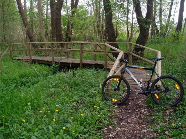
Von Lübz nach Passow via Fahrradweg, dann durch Ruthen zum Startpunkt der Aufzeichnung, dann um den Passower See nach Lübz über die Bobziner Schleuse.

Die Straßenstrecke hat er leider nicht aufgezeichnet!

Carte du tour et altitude

  • Open Street Map
  • Google
Minimum height -41 m Maximum height 189 m Vue de détail

More about the tour author

bikercelle
Member since 2009

Send private message

Commentaires

Einfach nach Lübz kommen!

Tracks GPS

Trackpoints
  • GPX / Garmin Map Source (gpx) download
  • TCX / Garmin Training Center® (tcx) download
  • CRS / Garmin Training Center® (crs) download
  • Google Earth (kml) download
  • G7ToWin (g7t) download
  • TTQV (trk) download
  • Overlay (ovl) download
  • Fugawi (txt) download
  • Kompass (DAV) Track (tk) download
  • Feuille de tours (pdf) download
  • Original file of the author (gpx) download

More about the tour author

bikercelle
Member since 2009

Send private message
Share track
Add to my favorites
Remove from my favorites
Edit tags
My score
Rate
Tour: Vom Passower See nach Lübz
Cat.: Mountainbike
Longueur: 14,3 km
Evaluated on:
Durée:
Day(s)
Hour(s)
Minute(s)
Evaluation: Paysage Aspect amusement Condition Technique