

Es handelt sich um eine Radtour der VHS Gladbeck. Gefahren wurde am Samstag, 9. Mai 2009 von 12 bis 18 Uhr. Die Strecke lag möglichst nah an den Stadtgrenzen Gladbecks. Es nahmen 12 Personen teil. Leitung: Ralf Michalowsky
Wir stateten vor der VHS und fuhren zunächst in östliche Richtung über Friedrich-, Horster-, Bachstrasse, durch den Schürenkamptunnel und dann die Schürenkampstr. bis zur Erlenstrasse.
Dort beginnt ein Radwanderweg , der uns längs der A52 bis zur Kleingartenanlage Offermannshof führt. Diese schmucke Anlage durchqueren wir und stoßen auf die Buersche Str.
An der Gabelung der Konrad-Adenauerallee/Buersche Str. sind wir am höchsten Punkt Gladbecks angelangt. Hier in, 80 Meter über NN besteht keine Hochwassergefahr, das sieht an anderen Stellen der Strecke anders aus.
.....
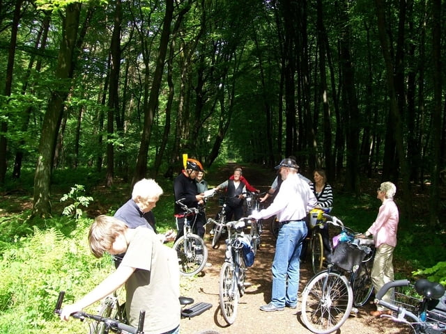
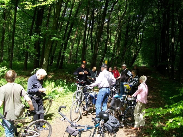
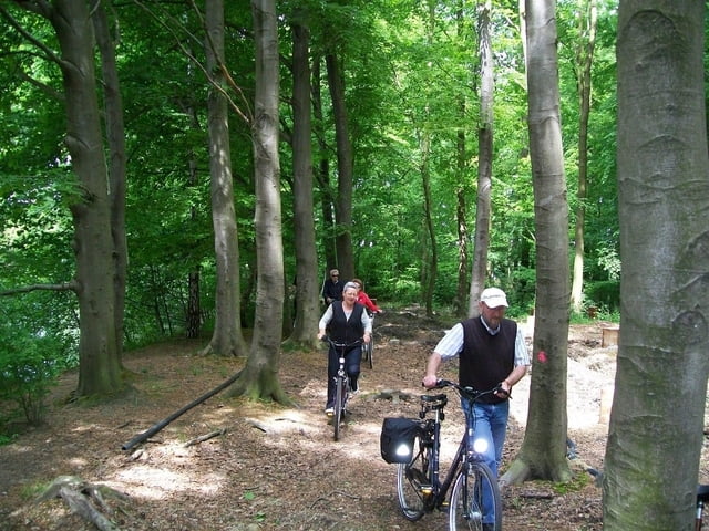
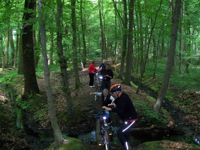
Galerie du tour

Carte du tour et altitude
Minimum height -10 m
Maximum height 130 m
More about the tour author
|
|
ralfm |
Commentaires

Tracks GPS
Trackpoints-
GPX / Garmin Map Source (gpx) download
-
TCX / Garmin Training Center® (tcx) download
-
CRS / Garmin Training Center® (crs) download
-
Google Earth (kml) download
-
G7ToWin (g7t) download
-
TTQV (trk) download
-
Overlay (ovl) download
-
Fugawi (txt) download
-
Kompass (DAV) Track (tk) download
-
Feuille de tours (pdf) download
-
Original file of the author (gpx) download
More about the tour author
|
|
ralfm |
Add to my favorites
Remove from my favorites
Edit tags
Open track
My score
Rate