


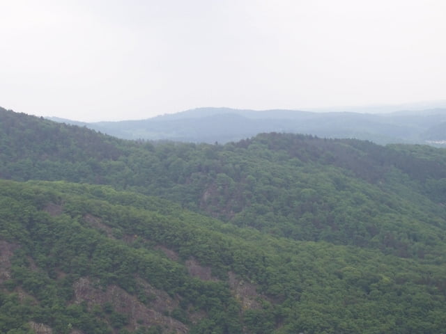
Eine sehr schöne Wanderung. Ausgehend von Mettlach über Saarhölzbach und am EISENKOPF vorbei zur Cloef. Dem Aussichtspunkt auf die SAARSCHLEIFE . Dann Abstieg zur Saar und übersetzen ans andere Ufer. Um die Saarschleife wandern und den Aufstieg zur Burgruine MONTCLAIRE nehmen . Leider waren kurz vor der Ruine die Batterien leer. Der Weg geht weiter nach dem Zeichen der TAFELTOUR zurück nach Mettlach. Die Strecke von der Ruine bis Mettlach Marktplatz ist ca. 3,5 Km lang.
Galerie du tour

Carte du tour et altitude
Minimum height 158 m
Maximum height 396 m
More about the tour author

|
Bomber |
Commentaires

Tracks GPS
Trackpoints-
GPX / Garmin Map Source (gpx) download
-
TCX / Garmin Training Center® (tcx) download
-
CRS / Garmin Training Center® (crs) download
-
Google Earth (kml) download
-
G7ToWin (g7t) download
-
TTQV (trk) download
-
Overlay (ovl) download
-
Fugawi (txt) download
-
Kompass (DAV) Track (tk) download
-
Feuille de tours (pdf) download
-
Original file of the author (gpx) download
More about the tour author
|
|
Bomber |
Add to my favorites
Remove from my favorites
Edit tags
Open track
My score
Rate