Login

Login oublié ?

Cookies have to be accepted!
Your browser's cookie functionality is disabled. Please enable this functionality.

Not a member yet?

Register now
Login

Available for registred users only

Log in to use this feature.

Login oublié ?

Cookies have to be accepted!
Your browser's cookie functionality is disabled. Please enable this functionality.

Not a member yet?

Register now
Filter
Catégories
Advanced filters
  • Longueur (km)
  • Altimètre
Enregistrer le filtre Reset filter

TrackRank

QRCode

Technical data

Longueur4,9 km Altimètre595 m Way down347 m Durée03:30 h:m Date11.05.2009
Evaluations Author Paysage Aspect amusement Condition Technique

Statistiques

338 Vues Evaluations 24 Téléchargements Moyenne
Rate
  • Feuille de tours
  • Arrivée
  • Téléchargements

Zelo zahtevna plezalna pot ni za tiste z vrtoglavico.

Varoval bi lahko bilo več.
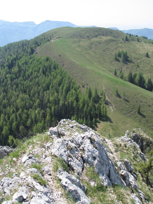
Galerie du tour

Carte du tour et altitude

  • Open Street Map
  • Google
Minimum height 1046 m Maximum height 1563 m Vue de détail

More about the tour author

malinovec
Member since 2009

Send private message

Commentaires

Za Gornjim Gradom zavijemo desno smer Lenart (iz Lj pred Gornjim Gradom). Po sprva asfaltirani in nato makadamski cesti se vzpnemo mimo cerkvice Sv.Lenart do konca ceste, kjer parkiramo.

Tracks GPS

Trackpoints
  • GPX / Garmin Map Source (gpx) download
  • TCX / Garmin Training Center® (tcx) download
  • CRS / Garmin Training Center® (crs) download
  • Google Earth (kml) download
  • G7ToWin (g7t) download
  • TTQV (trk) download
  • Overlay (ovl) download
  • Fugawi (txt) download
  • Kompass (DAV) Track (tk) download
  • Feuille de tours (pdf) download
  • Original file of the author (gpx) download

More about the tour author

malinovec
Member since 2009

Send private message
Share track
Add to my favorites
Remove from my favorites
Edit tags
My score
Rate
Tour: Veliki Rogatec
Cat.: Tour en montagne
Longueur: 4,9 km
Evaluated on:
Durée:
Day(s)
Hour(s)
Minute(s)
Evaluation: Paysage Aspect amusement Condition Technique