Login

Login oublié ?

Cookies have to be accepted!
Your browser's cookie functionality is disabled. Please enable this functionality.

Not a member yet?

Register now
Login

Available for registred users only

Log in to use this feature.

Login oublié ?

Cookies have to be accepted!
Your browser's cookie functionality is disabled. Please enable this functionality.

Not a member yet?

Register now
Filter
Catégories
Advanced filters
  • Longueur (km)
  • Altimètre
Enregistrer le filtre Reset filter

TrackRank

QRCode

Technical data

Longueur45,8 km Altimètre1708 m Way down1709 m Durée04:00 h:m Date17.05.2009
Evaluations Author Paysage Aspect amusement Condition Technique

Statistiques

1619 Vues Evaluations 416 Téléchargements Moyenne
Rate
  • Feuille de tours
  • Arrivée
  • Téléchargements
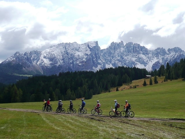
Die Anstiege sind relativ moderat und meist über breite Wege. Wenn man in Eggen oder Obereggen startet bietet sich eine Rast auf der Hagneralm an. Ab dem Nigerpass gehts wieder runter und am dem Karersee gibts super Singeltrails.

Carte du tour et altitude

  • Open Street Map
  • Google
Minimum height 993 m Maximum height 1849 m Vue de détail

More about the tour author

bonner

Commentaires

Tracks GPS

Trackpoints
  • GPX / Garmin Map Source (gpx) download
  • TCX / Garmin Training Center® (tcx) download
  • CRS / Garmin Training Center® (crs) download
  • Google Earth (kml) download
  • G7ToWin (g7t) download
  • TTQV (trk) download
  • Overlay (ovl) download
  • Fugawi (txt) download
  • Kompass (DAV) Track (tk) download
  • Feuille de tours (pdf) download
  • Original file of the author (gpx) download

More about the tour author

bonner

Share track
Add to my favorites
Remove from my favorites
Edit tags
My score
Rate
Tour: Südtirol Eggental Karersee
Cat.: Mountainbike
Longueur: 45,8 km
Evaluated on:
Durée:
Day(s)
Hour(s)
Minute(s)
Evaluation: Paysage Aspect amusement Condition Technique