


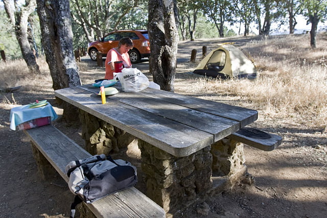
Start in Danville, bei San Francisco. Fahrt Richtung "Rock City", in den Mt. Diablo State Park. Dem kurvenreichen Weg folgen, bis zu einem Abzweig nach rechts. Wer will, kann rechts zum Gipfel hinauf weiter fahren. Geradeaus geht es wieder abwärts, bis nach Walnut Creek hinunter. Links am Abzweig liegt ein Campingplatz. Hier kann man im Schatten ausruhen (im Sommer ist es glühend heiß) und Wasser nachfüllen. Ein vergleichsweises kurzes Intermezzo, aber die Strecke ist sehr schön und bei uns waren kaum Autos unterwegs.
Galerie du tour
Carte du tour et altitude
Minimum height 69 m
Maximum height 657 m
More about the tour author
|
|
Moppedcarlo |
Commentaires

Tracks GPS
Trackpoints-
GPX / Garmin Map Source (gpx) download
-
TCX / Garmin Training Center® (tcx) download
-
CRS / Garmin Training Center® (crs) download
-
Google Earth (kml) download
-
G7ToWin (g7t) download
-
TTQV (trk) download
-
Overlay (ovl) download
-
Fugawi (txt) download
-
Kompass (DAV) Track (tk) download
-
Feuille de tours (pdf) download
-
Original file of the author (gpx) download
More about the tour author
|
|
Moppedcarlo |
Add to my favorites
Remove from my favorites
Edit tags
Open track
My score
Rate