

The route is asphalt only. But is not suitable for race-bikes. There are enough (dangerous) put holes to burst a tire. I recommend to go by mountainbike.At Dobogoko you can buy water
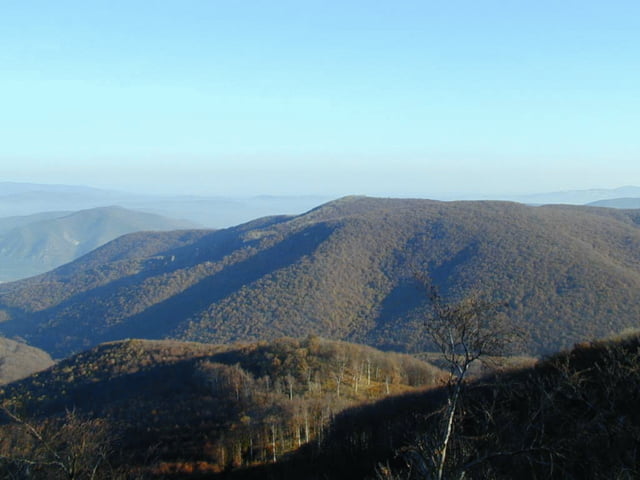
The roads in Hungary are rather dangerous so be always alert and give room to cars, since they will not give it to you!!! I further advice you to do the track as early possible in the morning. Especially in the week-end there are race (motor)bikes that enjoy part of the curvy slopes. The whole track is simple, some nice panaroma's as a reward and plenty shadow on a hot summer day after Pilimarot.
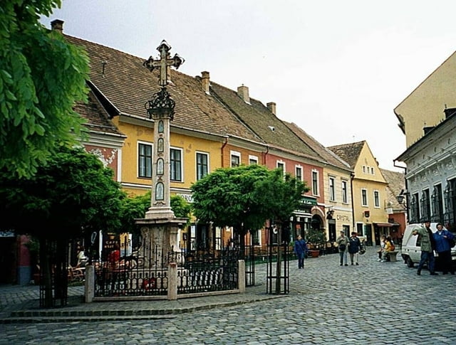
Starting at the entrance of Szentendre there is little time to warm-up the tour starts quickly up-hill. you will climb around 340 mtrs where the gradient is avg 5-7%. There are a few steeper parts but they are short. Once you did the first hill you have a long 5% downhill that end at the the Thermalbad Hotel on the X-ing with the Road no 11. Now comes the tricky part where you have to respect the careless driving style of car- and busdrivers!. It is around 10 Km. via Domos to Pilismarot where you turn left and are no longer bothered by cars.
An extra 6 kms can be done after your leave the forest and come to the main road again: continue to Dobogoko and enjoy a beautiful view over the Duna and see part of the track you have done.
Going downhill after Dobogoko, do NOT forget to turn left into the woods again. A friendly 6% climb is your reward as well as a long windy downhill also modest 6%. The road changes into a public road for cars and you will return to the crossing we passed before 10 min after you started. Find your own way into Szentednre, there are many narrow streets you can discover. Find the Duna river and enjoy a beer!
Galerie du tour

Carte du tour et altitude
Minimum height 107 m
Maximum height 592 m
More about the tour author

|
zwartr |
Commentaires

Parking in the centre of Szentendre needs Hungarian Forint coins! You can also follow the first 300 mtr of the bike trail and park your car free of charge near the tenniscourts.
Tracks GPS
Trackpoints-
GPX / Garmin Map Source (gpx) download
-
TCX / Garmin Training Center® (tcx) download
-
CRS / Garmin Training Center® (crs) download
-
Google Earth (kml) download
-
G7ToWin (g7t) download
-
TTQV (trk) download
-
Overlay (ovl) download
-
Fugawi (txt) download
-
Kompass (DAV) Track (tk) download
-
Feuille de tours (pdf) download
-
Original file of the author (gpx) download
More about the tour author
|
|
zwartr |
Add to my favorites
Remove from my favorites
Edit tags
Open track
My score
Rate