Login

Login oublié ?

Cookies have to be accepted!
Your browser's cookie functionality is disabled. Please enable this functionality.

Not a member yet?

Register now
Login

Available for registred users only

Log in to use this feature.

Login oublié ?

Cookies have to be accepted!
Your browser's cookie functionality is disabled. Please enable this functionality.

Not a member yet?

Register now
Filter
Catégories
Advanced filters
  • Longueur (km)
  • Altimètre
Enregistrer le filtre Reset filter

TrackRank

QRCode

Technical data

Longueur145,9 km Altimètre258 m Way down258 m Durée08:00 h:m Date24.05.2009
Evaluations Author Paysage Aspect amusement Condition Technique

Statistiques

412 Vues Evaluations 53 Téléchargements Moyenne
Rate
  • Feuille de tours
  • Arrivée
  • Téléchargements
Von Umkirch geht´s über Gottenheim nach Breisach. Nun kommen wir über die Reihnbrücke nach Frankreich, wir fahren dann Richtung Mülheim, der Weg geht zum teil über Feldwege und normale Straßen. In Mülheim gibt's dann erst mal ein Kaffee. Dann geht's weiter nach Neuenburg und zurück nach Umkirch. Leider hatten wir an diesem Tag Temperaturen von über 33°C. was den Spaß einschränkte.
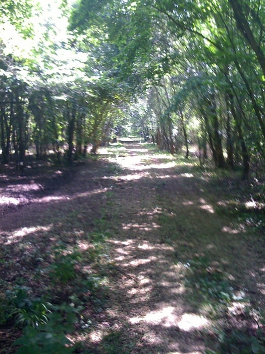
Galerie du tour

Carte du tour et altitude

  • Open Street Map
  • Google
Minimum height 153 m Maximum height 266 m Vue de détail

More about the tour author

kitom
Member since 2009

Send private message

Commentaires

Tracks GPS

Trackpoints
  • GPX / Garmin Map Source (gpx) download
  • TCX / Garmin Training Center® (tcx) download
  • CRS / Garmin Training Center® (crs) download
  • Google Earth (kml) download
  • G7ToWin (g7t) download
  • TTQV (trk) download
  • Overlay (ovl) download
  • Fugawi (txt) download
  • Kompass (DAV) Track (tk) download
  • Feuille de tours (pdf) download
  • Original file of the author (gpx) download

More about the tour author

kitom
Member since 2009

Send private message
Share track
Add to my favorites
Remove from my favorites
Edit tags
My score
Rate
Tour: Umkirch-Breisach-Mülheim-Neuenburg-Umkirch
Cat.: Trekkingbike
Longueur: 145,9 km
Evaluated on:
Durée:
Day(s)
Hour(s)
Minute(s)
Evaluation: Paysage Aspect amusement Condition Technique