Login

Login oublié ?

Cookies have to be accepted!
Your browser's cookie functionality is disabled. Please enable this functionality.

Not a member yet?

Register now
Login

Available for registred users only

Log in to use this feature.

Login oublié ?

Cookies have to be accepted!
Your browser's cookie functionality is disabled. Please enable this functionality.

Not a member yet?

Register now
Filter
Catégories
Advanced filters
  • Longueur (km)
  • Altimètre
Enregistrer le filtre Reset filter

TrackRank

QRCode

Technical data

Longueur31,2 km Altimètre955 m Way down943 m Durée03:10 h:m Date21.05.2006
Evaluations Author User Paysage Aspect amusement Condition Technique

Statistiques

7821 Vues 5 Evaluations 1453 Téléchargements 3.60 Moyenne
Rate
  • Feuille de tours
  • Arrivée
  • Téléchargements
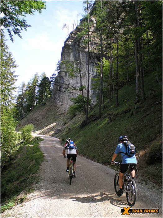
Eine schöne Halbtagestour mit tollen Trail-Passagen! Wie oft hat man schon die Gelegenheit, sich bei einer Biketour in drei verschiedenen Seen abzukühlen.

TIPP: Toller Singltrail von der Eisenaueralm!

Further information at

http://www.x-trail-freaks.at

Galerie du tour

Carte du tour et altitude

  • Open Street Map
  • Google
Minimum height 518 m Maximum height 1039 m Vue de détail

More about the tour author

x-trail
Member since 2006

Send private message

Commentaires

ksc on 25.05.2008

Absolut super, hat alles.

Ich kante diese Tour schon, zumindest Teile davon.
Diese Tour hat wirklich alles, es gibt nichts zu meckern.
Kann ich sehr empfehlen.
hkupfer on 01.06.2009

Tolle Tour!

Ideal, wenn man direkt in St. Wolfgang startet (Parkplatz 6 EUR/Tag), dann hat man am Ende eine schön entspannte Waldabfahrt zum Wolfgangsee...

Gleich nach St. Wolfgang vor dem steilen Anstieg das Schild: "Fahräder verboten"...hat aber keiner gemeckert...

Zeit-, Entfernungs- und Höhenangaben passen!
k_sc on 05.06.2011

Sehr empfehlenswert

Tour hat alles, was man sich wünscht.
Startpunkt für unsere Tour ist ein kleiner Rastplatz auf der rechten Seite direkt an der Straße von Scharfling Richtung Winkl (nach 0,5 Kilometer).

Tracks GPS

Trackpoints
  • GPX / Garmin Map Source (gpx) download
  • TCX / Garmin Training Center® (tcx) download
  • CRS / Garmin Training Center® (crs) download
  • Google Earth (kml) download
  • G7ToWin (g7t) download
  • TTQV (trk) download
  • Overlay (ovl) download
  • Fugawi (txt) download
  • Kompass (DAV) Track (tk) download
  • Feuille de tours (pdf) download
  • Original file of the author (gpx) download

More about the tour author

x-trail
Member since 2006

Send private message
Share track
Add to my favorites
Remove from my favorites
Edit tags
My score
Rate
Tour: Schafbergrunde
Cat.: Mountainbike
Longueur: 31,2 km
Evaluated on:
Durée:
Day(s)
Hour(s)
Minute(s)
Evaluation: Paysage Aspect amusement Condition Technique