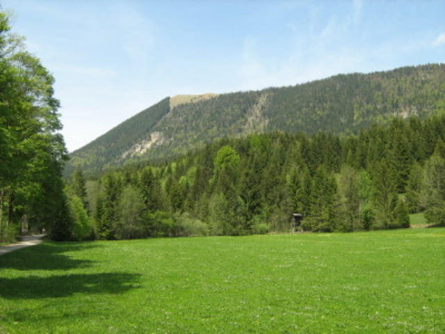
Vom großen Parkplatz in Jachenau Ort gehen wir Anfangs durch das Tal. Am Berg gehen wir stets steil durch den Wald nach oben Weiter über einen Bergrücken relativ flach bis zum Gipfel. Ist im Winter interessanter als im Sommer.
Galerie du tour
Carte du tour et altitude
Minimum height 556 m
Maximum height 1511 m
Commentaires

In Jachenau Ort rechts der Kirche gibt es einen großen Parkplatz
Tracks GPS
Trackpoints-
GPX / Garmin Map Source (gpx) download
-
TCX / Garmin Training Center® (tcx) download
-
CRS / Garmin Training Center® (crs) download
-
Google Earth (kml) download
-
G7ToWin (g7t) download
-
TTQV (trk) download
-
Overlay (ovl) download
-
Fugawi (txt) download
-
Kompass (DAV) Track (tk) download
-
Feuille de tours (pdf) download
-
Original file of the author (gpx) download
Add to my favorites
Remove from my favorites
Edit tags
Open track
My score
Rate


