Login

Login oublié ?

Cookies have to be accepted!
Your browser's cookie functionality is disabled. Please enable this functionality.

Not a member yet?

Register now
Login

Available for registred users only

Log in to use this feature.

Login oublié ?

Cookies have to be accepted!
Your browser's cookie functionality is disabled. Please enable this functionality.

Not a member yet?

Register now
Filter
Catégories
Advanced filters
  • Longueur (km)
  • Altimètre
Enregistrer le filtre Reset filter

TrackRank

QRCode

Technical data

Longueur56,8 km Altimètre1068 m Way down1065 m Durée00:00 h:m Date29.05.2009
Evaluations Author User Paysage Aspect amusement Condition Technique

Statistiques

538 Vues Evaluations 70 Téléchargements Moyenne
Rate
  • Feuille de tours
  • Arrivée
  • Téléchargements

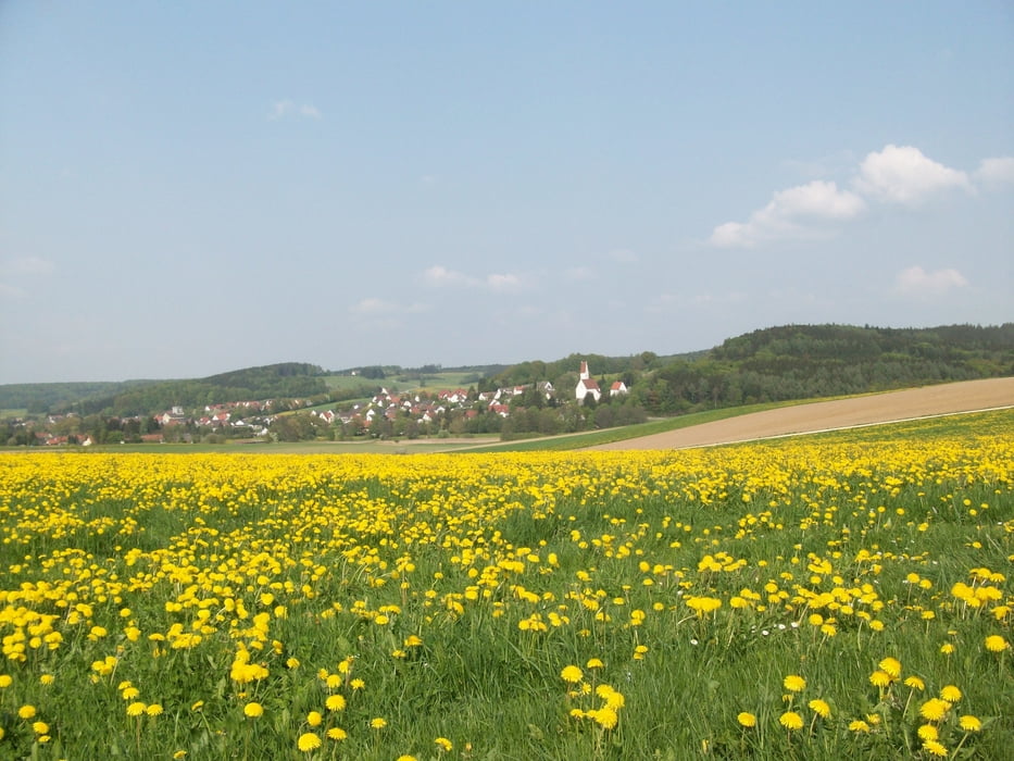
Schwere Rennradrunde mit vielen steilen Anstiegen.

Highlights:

Birkach-Klimmach 20%,  Schwabegg-Prügelberg 18%,  Gumpenweiler - Oberrothan 16%,  Konradshofen-Birkach 15%, usw.

Carte du tour et altitude

  • Open Street Map
  • Google
Minimum height 492 m Maximum height 628 m Vue de détail

More about the tour author

Staudenbiker
Member since 2009

Send private message

Commentaires

Tracks GPS

Trackpoints
  • GPX / Garmin Map Source (gpx) download
  • TCX / Garmin Training Center® (tcx) download
  • CRS / Garmin Training Center® (crs) download
  • Google Earth (kml) download
  • G7ToWin (g7t) download
  • TTQV (trk) download
  • Overlay (ovl) download
  • Fugawi (txt) download
  • Kompass (DAV) Track (tk) download
  • Feuille de tours (pdf) download
  • Original file of the author (gpx) download

More about the tour author

Staudenbiker
Member since 2009

Send private message
Share track
Add to my favorites
Remove from my favorites
Edit tags
My score
Rate
Tour: Staudenachter - Die - Rennradrunde in den Stauden
Cat.: Vélo de course
Longueur: 56,8 km
Evaluated on:
Durée:
Day(s)
Hour(s)
Minute(s)
Evaluation: Paysage Aspect amusement Condition Technique