

Sehr schöne Tour. Mit zwei sehr schöne Möglichkeiten etwas zu essen und sich auszuruhen.
1. Schöne Aussicht
2. Stinder Mühle
Ich kann die Tour nur empfehlen. Hat aber ein paar bissigen Anstiege und schöne Abfahrten.
Sollte für jeden etwas dabei sein. Also viel Spaß
Till
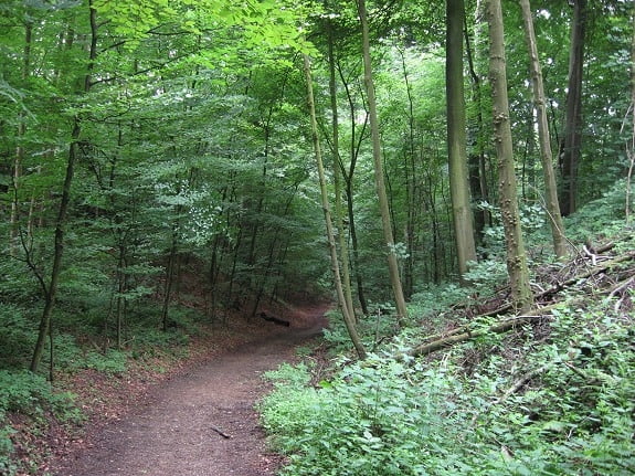
Galerie du tour

Carte du tour et altitude
Minimum height 47 m
Maximum height 233 m
More about the tour author
|
|
TillHeeg |
Commentaires
Tracks GPS
Trackpoints-
GPX / Garmin Map Source (gpx) download
-
TCX / Garmin Training Center® (tcx) download
-
CRS / Garmin Training Center® (crs) download
-
Google Earth (kml) download
-
G7ToWin (g7t) download
-
TTQV (trk) download
-
Overlay (ovl) download
-
Fugawi (txt) download
-
Kompass (DAV) Track (tk) download
-
Feuille de tours (pdf) download
-
Original file of the author (gpx) download
More about the tour author
|
|
TillHeeg |
Add to my favorites
Remove from my favorites
Edit tags
Open track
My score
Rate
Schöne Runde