Login

Login oublié ?

Cookies have to be accepted!
Your browser's cookie functionality is disabled. Please enable this functionality.

Not a member yet?

Register now
Login

Available for registred users only

Log in to use this feature.

Login oublié ?

Cookies have to be accepted!
Your browser's cookie functionality is disabled. Please enable this functionality.

Not a member yet?

Register now
Filter
Catégories
Advanced filters
  • Longueur (km)
  • Altimètre
Enregistrer le filtre Reset filter

TrackRank

QRCode

Technical data

Longueur40,3 km Altimètre1189 m Way down1183 m Durée02:48 h:m Date07.06.2009
Evaluations Author Paysage Aspect amusement Condition Technique

Statistiques

719 Vues Evaluations 141 Téléchargements Moyenne
Rate
  • Feuille de tours
  • Arrivée
  • Téléchargements
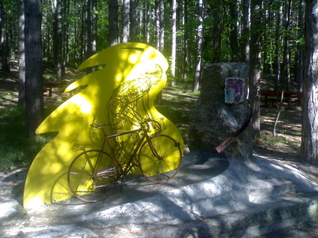
Partenza da Macerata Feltria direzione Carpegna. Fino al paese Carpegna la salita è regolare (6-7%). Poi da qui si prende per il " Cippo" e la salita si fa ripida e senza respiro, Arrivati al passo si può ammirare la gigantografia del mitico Pantani. 

Galerie du tour

Carte du tour et altitude

  • Open Street Map
  • Google
Minimum height 275 m Maximum height 1375 m Vue de détail

More about the tour author

cris700
Member since 2009

Send private message

Commentaires

Tracks GPS

Trackpoints
  • GPX / Garmin Map Source (gpx) download
  • TCX / Garmin Training Center® (tcx) download
  • CRS / Garmin Training Center® (crs) download
  • Google Earth (kml) download
  • G7ToWin (g7t) download
  • TTQV (trk) download
  • Overlay (ovl) download
  • Fugawi (txt) download
  • Kompass (DAV) Track (tk) download
  • Feuille de tours (pdf) download
  • Original file of the author (gpx) download

More about the tour author

cris700
Member since 2009

Send private message
Share track
Add to my favorites
Remove from my favorites
Edit tags
My score
Rate
Tour: Il Carpegna mi basta
Cat.: Mountainbike
Longueur: 40,3 km
Evaluated on:
Durée:
Day(s)
Hour(s)
Minute(s)
Evaluation: Paysage Aspect amusement Condition Technique