Login

Login oublié ?

Cookies have to be accepted!
Your browser's cookie functionality is disabled. Please enable this functionality.

Not a member yet?

Register now
Login

Available for registred users only

Log in to use this feature.

Login oublié ?

Cookies have to be accepted!
Your browser's cookie functionality is disabled. Please enable this functionality.

Not a member yet?

Register now
Filter
Catégories
Advanced filters
  • Longueur (km)
  • Altimètre
Enregistrer le filtre Reset filter

TrackRank

QRCode

Technical data

Longueur12,2 km Altimètre663 m Way down672 m Durée02:00 h:m Date13.06.2009
Evaluations Author Paysage Aspect amusement Condition Technique

Statistiques

758 Vues 1 Evaluation 203 Téléchargements 3.00 Moyenne
Rate
  • Feuille de tours
  • Arrivée
  • Téléchargements
von Latsch aus Richtung Eisstadion, geradeaus weiter vorbei am Hotel XY, weiter in westlicher Richtung und dann den Forstweg Richtung Töbrunn, Latscher/Tarscher Alm. Abwärts gehts über den Wanderweg Nr.4 nach Latsch (recht heftig, einige Male absteigen ist keine Schande)
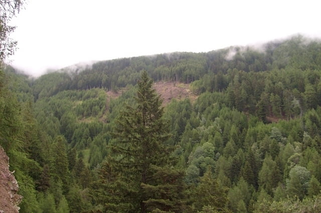
Galerie du tour

Carte du tour et altitude

  • Open Street Map
  • Google
Minimum height 647 m Maximum height 1292 m Vue de détail

More about the tour author

alextetz
Member since 2009

Send private message

Commentaires

jackaess on 21.09.2010

Super!

Erfrischender Aufstieg (zur Ausnahme mal kein Asphalt) und knackiger Trial zurück ins Dorf! aber wirklich nur für Geübte, Technik/Schwierigkeitsfaktor 5 Sterne!

Tracks GPS

Trackpoints
  • GPX / Garmin Map Source (gpx) download
  • TCX / Garmin Training Center® (tcx) download
  • CRS / Garmin Training Center® (crs) download
  • Google Earth (kml) download
  • G7ToWin (g7t) download
  • TTQV (trk) download
  • Overlay (ovl) download
  • Fugawi (txt) download
  • Kompass (DAV) Track (tk) download
  • Feuille de tours (pdf) download
  • Original file of the author (gpx) download

More about the tour author

alextetz
Member since 2009

Send private message
Share track
Add to my favorites
Remove from my favorites
Edit tags
My score
Rate
Tour: kurz aber knackig
Cat.: Mountainbike
Longueur: 12,2 km
Evaluated on:
Durée:
Day(s)
Hour(s)
Minute(s)
Evaluation: Paysage Aspect amusement Condition Technique