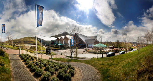
Limburgs Mooiste editie 2009.
Paarse route, 250 km bestaande uit 2 lussen.
1x blauwe lus 100 km, niet echt zwaar met enkele beklimmingen, en een rode lus van 150 km die echt zwaar is te noemen!
Galerie du tour
Carte du tour et altitude
Minimum height 53 m
Maximum height 294 m
Commentaires

Tocht gaat door de Zuid-Limburg en gedeeltelijk door Duitsland.
De rode lus gaat ook door de Voerstreek in Belgie.
Tracks GPS
Trackpoints-
GPX / Garmin Map Source (gpx) download
-
TCX / Garmin Training Center® (tcx) download
-
CRS / Garmin Training Center® (crs) download
-
Google Earth (kml) download
-
G7ToWin (g7t) download
-
TTQV (trk) download
-
Overlay (ovl) download
-
Fugawi (txt) download
-
Kompass (DAV) Track (tk) download
-
Feuille de tours (pdf) download
-
Original file of the author (gpx) download
Add to my favorites
Remove from my favorites
Edit tags
Open track
My score
Rate


